Transport Functions
Rail
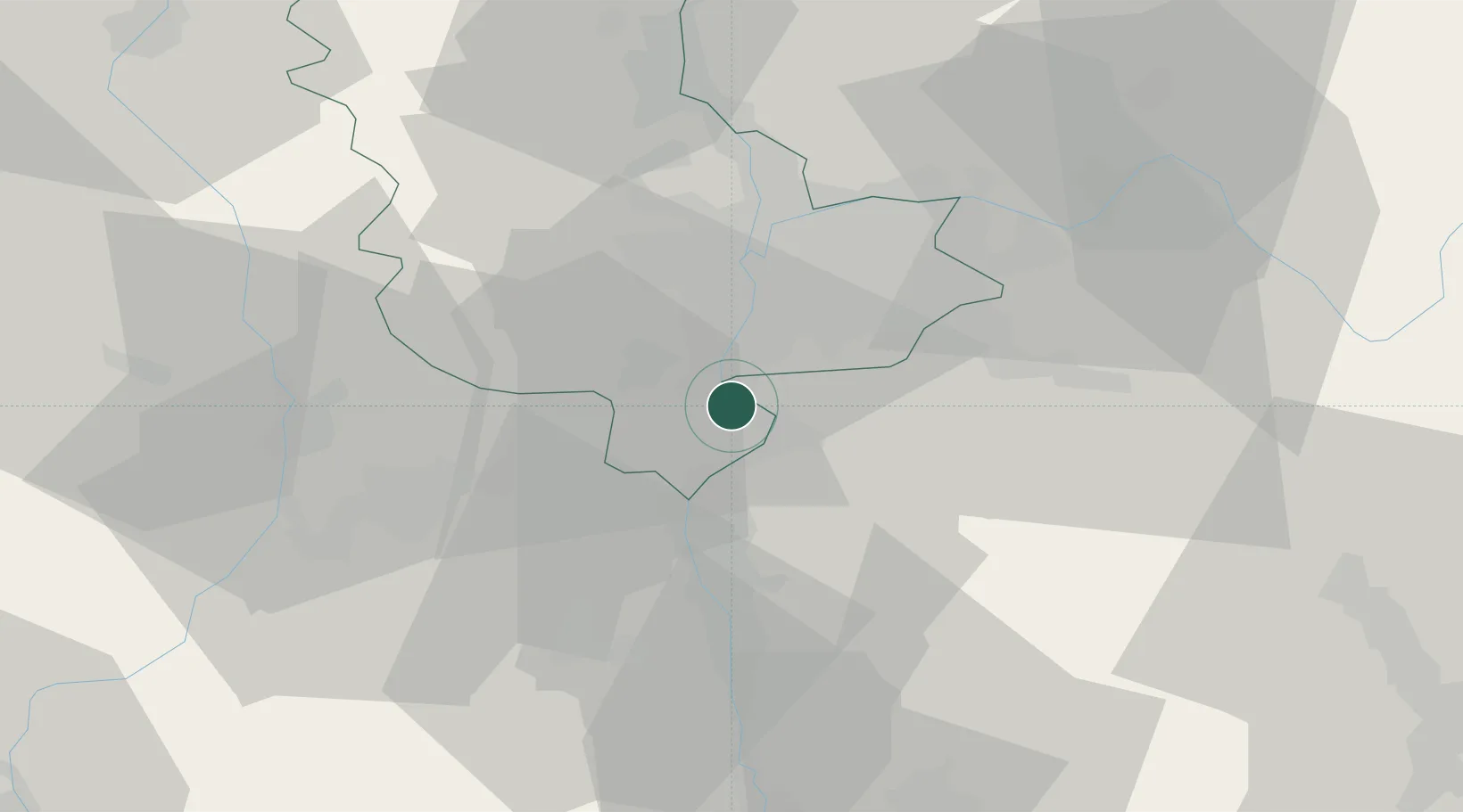
Hub Profile
Place type
Populated place
Region
Rhône-Alpes
Population
18,198
Time zone
Europe/Paris
Elevation
160 m
Logistics facilities
1
Location
Nearby Logistics Neighbours
Cities
- 1Seyssuel3 km
- 2Communay4 km
- 3Saint-Cyr-sur-le-Rhône5 km
- 4Ternay6 km
- 5Villette-de-Vienne7 km
Ports
- 1Fos239 km
- 2Port-de-Bouc241 km
- 3Port Saint Louis Du Rhone242 km
- 4Marseille254 km
- 5Sete256 km
Airports
Trade Zones
- 1ZFU Vénissieux15 km
- 2ZFU Lyon 9e24 km
- 3ZFU Vaulx-en-Velin26 km
- 4ZFU Rillieux-la-Pape30 km
- 5ZFU Saint-Etienne43 km
DatabookThe Record of Consolidated Knowledge
France beyond logistics?