UN/LOCODE hub · France
FRYRO

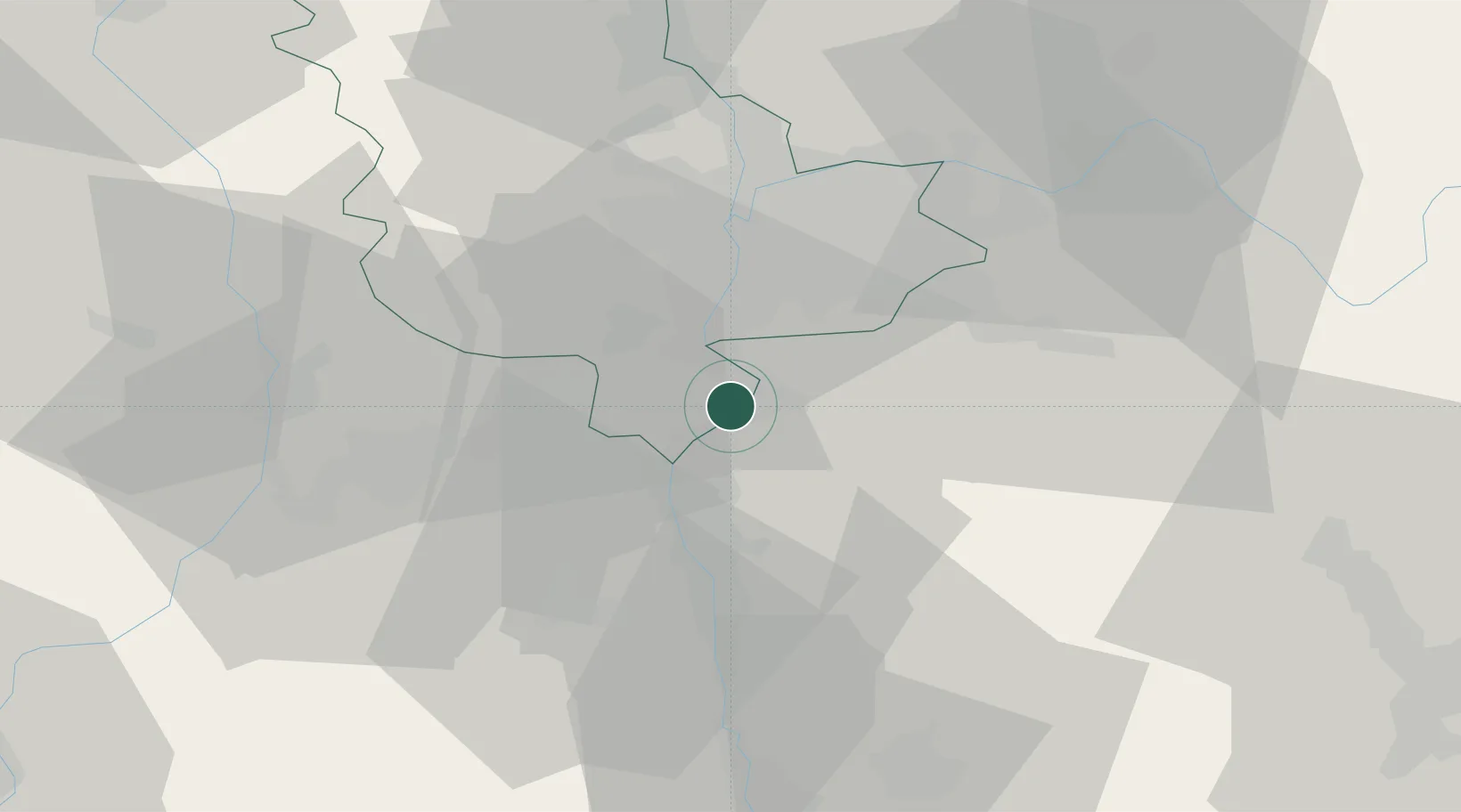
Saint-Cyr-sur-le-Rhône

45.5167°, 4.8333°
1,137
Population
2
Transport functions

Transport Functions

Road
Multimodal
UN/LOCODE

Hub Profile

Place type
Populated place
GeoNames
Region
Rhône-Alpes
GeoNames
Population
1,137
GeoNames
Time zone
Europe/Paris
GeoNames
Elevation
214 m
GeoNames

Location

Location of FRYRO
Natural Earth 10m (public domain) · Rhône-Alpes · FRYRO · 45.52, 4.83GoogleOSMYandex

Nearby Logistics Neighbours

Cities
  1. 1Tupin-et-Semons5 km
  2. 2Givors5 km
  3. 3Seyssuel6 km
  4. 4Les Côtes-d'Arey8 km
  5. 5Villette-de-Vienne9 km
Nearest neighbours — logibook spatial index (haversine) over the source coordinates
Ports
  1. 1Fos234 km
  2. 2Port-de-Bouc236 km
  3. 3Port Saint Louis Du Rhone237 km
  4. 4Marseille248 km
  5. 5Sete252 km
Nearest neighbours — logibook spatial index (haversine) over the source coordinates
Airports
  1. 1Lyon Bron Airport25 km
  2. 2Lyon Saint-Exupéry Airport31 km
  3. 3Saint-Étienne-Bouthéon Airport42 km
  4. 4Grenoble Alpes Isère Airport42 km
  5. 5Ambérieu Air Base (BA 278)65 km
Nearest neighbours — logibook spatial index (haversine) over the source coordinates
Trade Zones
  1. 1ZFU Vénissieux20 km
  2. 2ZFU Lyon 9e29 km
  3. 3ZFU Vaulx-en-Velin30 km
  4. 4ZFU Rillieux-la-Pape35 km
  5. 5ZFU Saint-Etienne43 km
Nearest neighbours — logibook spatial index (haversine) over the source coordinates
DatabookThe Record of Consolidated Knowledge
France beyond logistics?
Browse databook

All Sources

LocationsUN/LOCODE
UN/LOCODE — free
LocationsGeoNames
CC BY 4.0
Portsthe NGA World Port Index
Public domain (US gov)
AirportsOurAirports
Public domain
Trade Zonesthe World Bank SEZ database
CC BY 4.0
Trade ZonesOpen Zone Map
CC BY
← France locations