UN/LOCODE hub · France
FRDHH

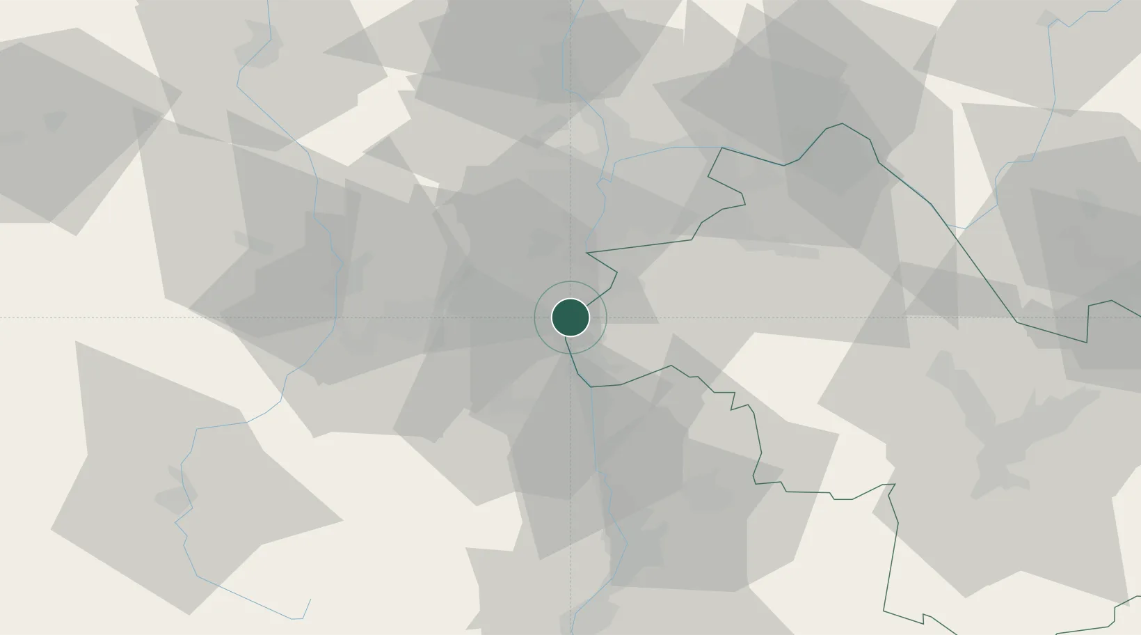
Les Roches-de-Condrieu

45.4500°, 4.7667°
1,968
Population
3
Transport functions

Transport Functions

Rail
Road
Multimodal
UN/LOCODE

Hub Profile

Place type
Populated place
GeoNames
Region
Rhône-Alpes
GeoNames
Population
1,968
GeoNames
Time zone
Europe/Paris
GeoNames
Elevation
150 m
GeoNames

Location

Location of FRDHH
Natural Earth 10m (public domain) · Rhône-Alpes · FRDHH · 45.45, 4.77GoogleOSMYandex

Nearby Logistics Neighbours

Cities
  1. 1Vérin1 km
  2. 2Tupin-et-Semons5 km
  3. 3Chavanay5 km
  4. 4Saint-Maurice-l'Exil6 km
  5. 5Les Côtes-d'Arey8 km
Nearest neighbours — logibook spatial index (haversine) over the source coordinates
Ports
  1. 1Fos226 km
  2. 2Port-de-Bouc229 km
  3. 3Port Saint Louis Du Rhone230 km
  4. 4Marseille242 km
  5. 5Sete243 km
Nearest neighbours — logibook spatial index (haversine) over the source coordinates
Airports
  1. 1Lyon Bron Airport34 km
  2. 2Saint-Étienne-Bouthéon Airport38 km
  3. 3Lyon Saint-Exupéry Airport40 km
  4. 4Grenoble Alpes Isère Airport45 km
  5. 5Valence-Chabeuil Airport61 km
Nearest neighbours — logibook spatial index (haversine) over the source coordinates
Trade Zones
  1. 1ZFU Vénissieux28 km
  2. 2ZFU Lyon 9e36 km
  3. 3ZFU Saint-Etienne37 km
  4. 4ZFU Vaulx-en-Velin39 km
  5. 5ZFU Rillieux-la-Pape43 km
Nearest neighbours — logibook spatial index (haversine) over the source coordinates
DatabookThe Record of Consolidated Knowledge
France beyond logistics?
Browse databook

All Sources

LocationsUN/LOCODE
UN/LOCODE — free
LocationsGeoNames
CC BY 4.0
Portsthe NGA World Port Index
Public domain (US gov)
AirportsOurAirports
Public domain
Trade Zonesthe World Bank SEZ database
CC BY 4.0
Trade ZonesOpen Zone Map
CC BY
← France locations