Transport Functions
Multimodal
Hub Profile
Place type
Populated place
Region
Occitanie
Population
221
Time zone
Europe/Paris
Elevation
86 m
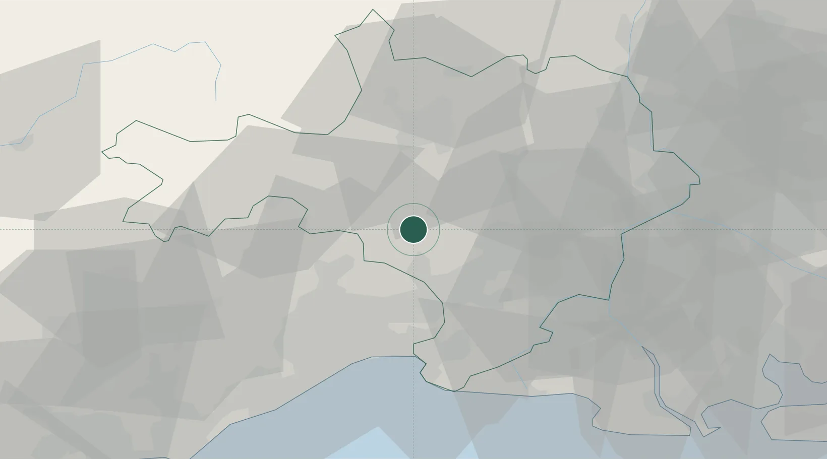
Location
Nearby Logistics Neighbours
Cities
- 1Vic-le-Fesq2 km
- 2Fontanès8 km
- 3Saint-Clément8 km
- 4Quissac9 km
- 5Logrian-et-Comiac-de-Florian9 km
Ports
- 1Sete63 km
- 2Port Saint Louis Du Rhone80 km
- 3Fos82 km
- 4Port-de-Bouc89 km
- 5Marseille120 km
Airports
Trade Zones
- 1ZFU Nîmes21 km
- 2ZFU Montpellier37 km
- 3ZFU Avignon57 km
- 4ZFU Béziers94 km
- 5ZFU Saint-Barthélémy, Le Canet, Delorme-Paternelle114 km
DatabookThe Record of Consolidated Knowledge
France beyond logistics?