Transport Functions
Rail
Road
Multimodal
Hub Profile
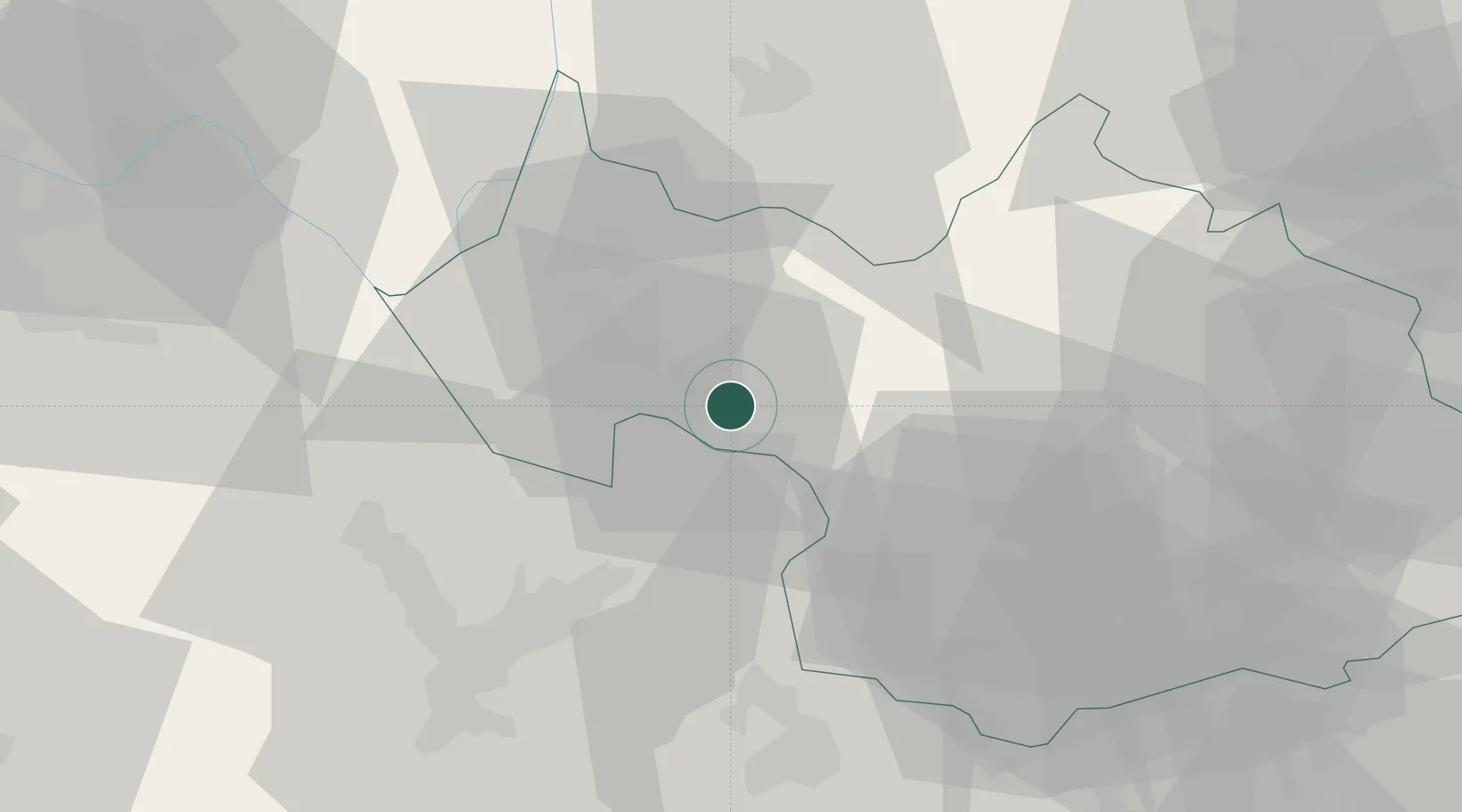
Place type
Populated place
Region
Rhône-Alpes
Population
779
Time zone
Europe/Paris
Elevation
310 m
Location
Nearby Logistics Neighbours
Cities
- 1Cruet2 km
- 2Porte-de-Savoie4 km
- 3Tormery4 km
- 4Chignin4 km
- 5Les Marches6 km
Ports
- 1Nice222 km
- 2Villefranche223 km
- 3Monaco224 km
- 4Antibes229 km
- 5Cannes230 km
Airports
Trade Zones
DatabookThe Record of Consolidated Knowledge
France beyond logistics?