Transport Functions
Rail
Road
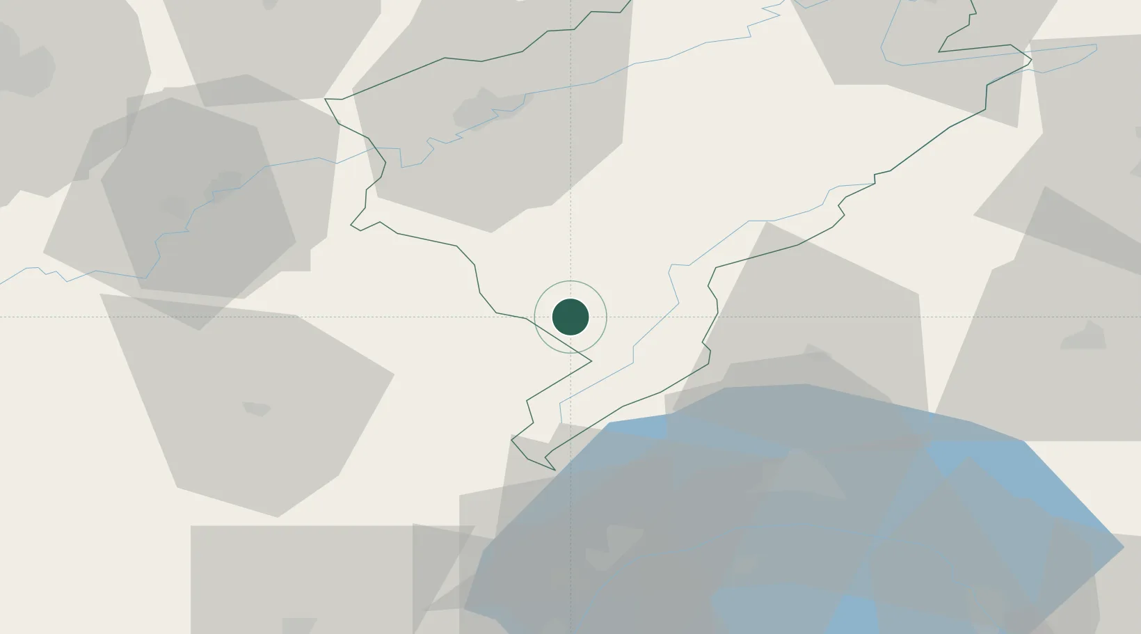
Hub Profile
Place type
Populated place
Region
Bourgogne
Population
1,696
Time zone
Europe/Paris
Elevation
856 m
Location
Nearby Logistics Neighbours
Cities
- 1La Rivière-Drugeon4 km
- 2Labergement-Sainte-Marie13 km
- 3Pontarlier15 km
- 4La Cluse-et-Mijoux17 km
- 5Les Villedieu18 km
Ports
- 1Savona335 km
- 2Rada Di Vado338 km
- 3Genova347 km
- 4Monaco360 km
- 5San Remo360 km
Airports
- 1Les Eplatures Airport54 km
- 2Payerne Air Base57 km
- 3Dole Tavaux Airport60 km
- 4Geneva Cointrin International Airport68 km
- 5Annemasse Airfield74 km
DatabookThe Record of Consolidated Knowledge
France beyond logistics?