Transport Functions
Rail
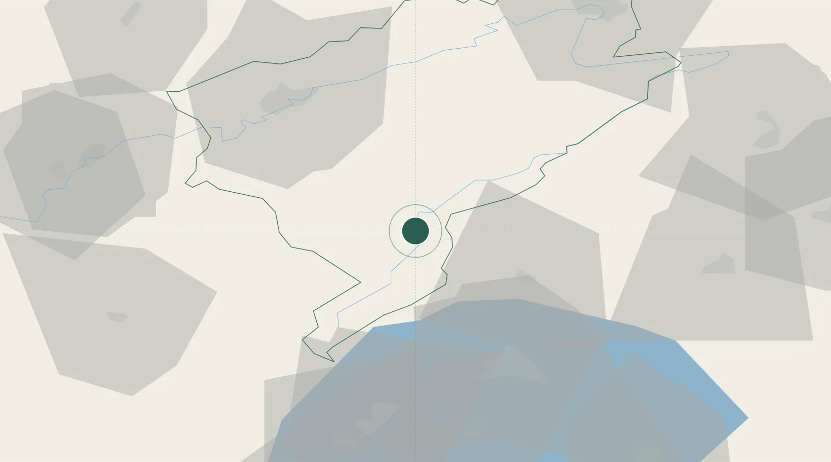
Hub Profile
Place type
District seat
Region
Bourgogne
Population
20,313
Time zone
Europe/Paris
Elevation
834 m
Location
Nearby Logistics Neighbours
Cities
- 1La Cluse-et-Mijoux3 km
- 2Lièvremont10 km
- 3Les Verrières10 km
- 4La Rivière-Drugeon11 km
- 5Sainte Croix15 km
Ports
- 1Savona332 km
- 2Rada Di Vado336 km
- 3Genova343 km
- 4Imperia360 km
- 5San Remo361 km
Airports
Trade Zones
DatabookThe Record of Consolidated Knowledge
France beyond logistics?