UN/LOCODE hub · France
FRL7X
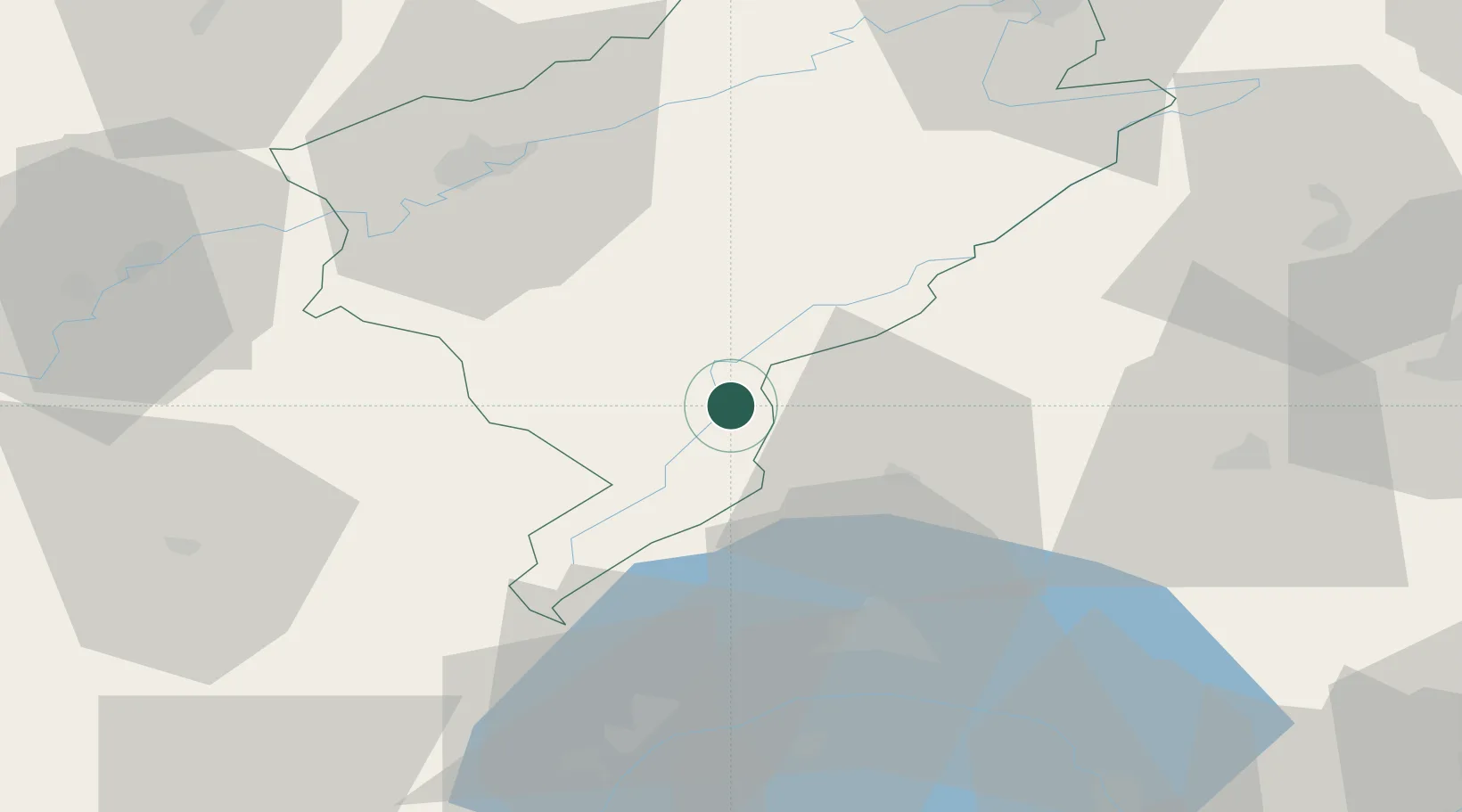
La Cluse-et-Mijoux
46.8833°, 6.3833°
1,171
Population
1
Transport functions
Transport Functions
Multimodal
Hub Profile
Place type
Populated place
Region
Bourgogne
Population
1,171
Time zone
Europe/Paris
Elevation
1,090 m
Location
Nearby Logistics Neighbours
Cities
- 1Pontarlier3 km
- 2Les Verrières8 km
- 3Lièvremont10 km
- 4Sainte Croix12 km
- 5La Rivière-Drugeon13 km
Ports
- 1Savona330 km
- 2Rada Di Vado333 km
- 3Genova340 km
- 4Imperia358 km
- 5San Remo358 km
Airports
Trade Zones
DatabookThe Record of Consolidated Knowledge
France beyond logistics?