UN/LOCODE hub · France
FRAGM

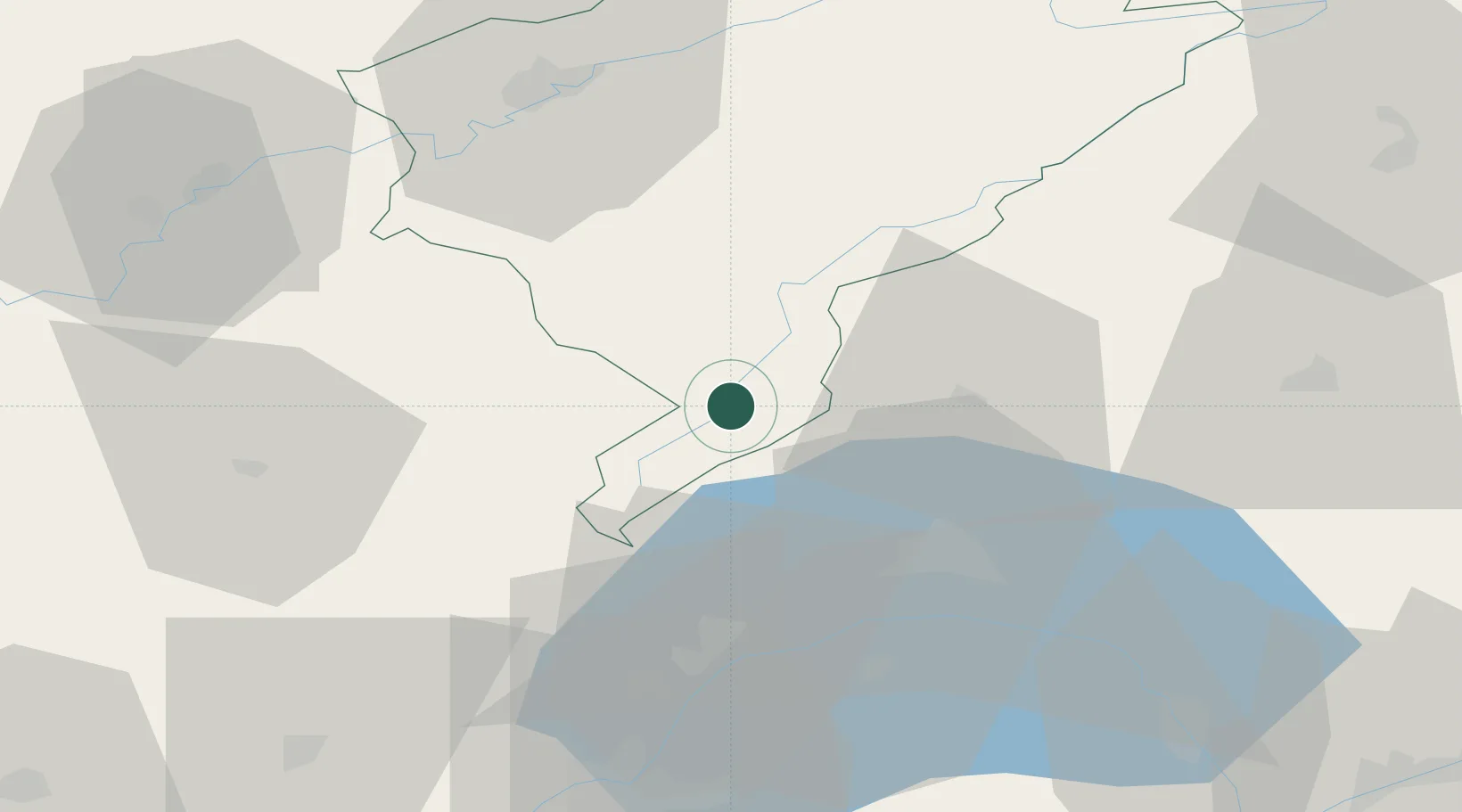
Labergement-Sainte-Marie

46.7667°, 6.2833°
972
Population
2
Transport functions

Transport Functions

Rail
Road
UN/LOCODE

Hub Profile

Place type
Populated place
GeoNames
Region
Bourgogne
GeoNames
Population
972
GeoNames
Time zone
Europe/Paris
GeoNames
Elevation
853 m
GeoNames

Location

Location of FRAGM
Natural Earth 10m (public domain) · Bourgogne · FRAGM · 46.77, 6.28GoogleOSMYandex

Nearby Logistics Neighbours

Cities
  1. 1Les Villedieu8 km
  2. 2La Rivière-Drugeon12 km
  3. 3Frasne13 km
  4. 4Le Lieu13 km
  5. 5L'Abbaye13 km
Nearest neighbours — logibook spatial index (haversine) over the source coordinates
Ports
  1. 1Savona323 km
  2. 2Rada Di Vado326 km
  3. 3Genova334 km
  4. 4San Remo348 km
  5. 5Imperia349 km
Nearest neighbours — logibook spatial index (haversine) over the source coordinates
Airports
  1. 1Payerne Air Base49 km
  2. 2Les Eplatures Airport52 km
  3. 3Geneva Cointrin International Airport60 km
  4. 4Annemasse Airfield64 km
  5. 5Dole Tavaux Airport72 km
Nearest neighbours — logibook spatial index (haversine) over the source coordinates
Trade Zones
  1. 1PESA - Port-Franc et Entrepôts de Lausanne-Chavornay SA22 km
  2. 2Port Franc Vevey40 km
  3. 3ZFU Besancon56 km
  4. 4Geneva Cointrin International Airport Free Port64 km
  5. 5Geneva Freeport, La Praille, Geneva66 km
Nearest neighbours — logibook spatial index (haversine) over the source coordinates
DatabookThe Record of Consolidated Knowledge
France beyond logistics?
Browse databook

All Sources

LocationsUN/LOCODE
UN/LOCODE — free
LocationsGeoNames
CC BY 4.0
Portsthe NGA World Port Index
Public domain (US gov)
AirportsOurAirports
Public domain
Trade Zonesthe World Bank SEZ database
CC BY 4.0
Trade ZonesOpen Zone Map
CC BY
← France locations