Transport Functions
Road
Multimodal
Hub Profile
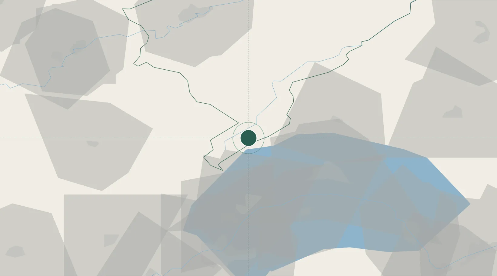
Place type
Populated place
Region
Bourgogne
Population
137
Time zone
Europe/Paris
Elevation
1,101 m
Location
Nearby Logistics Neighbours
Cities
- 1Le Lieu6 km
- 2L'Abbaye8 km
- 3Labergement-Sainte-Marie8 km
- 4Frasne18 km
- 5La Rivière-Drugeon19 km
Ports
- 1Savona318 km
- 2Rada Di Vado321 km
- 3Genova330 km
- 4Monaco342 km
- 5San Remo342 km
Airports
- 1Geneva Cointrin International Airport53 km
- 2Payerne Air Base53 km
- 3Annemasse Airfield57 km
- 4Les Eplatures Airport59 km
- 5Dole Tavaux Airport73 km
DatabookThe Record of Consolidated Knowledge
France beyond logistics?