Transport Functions
Multimodal
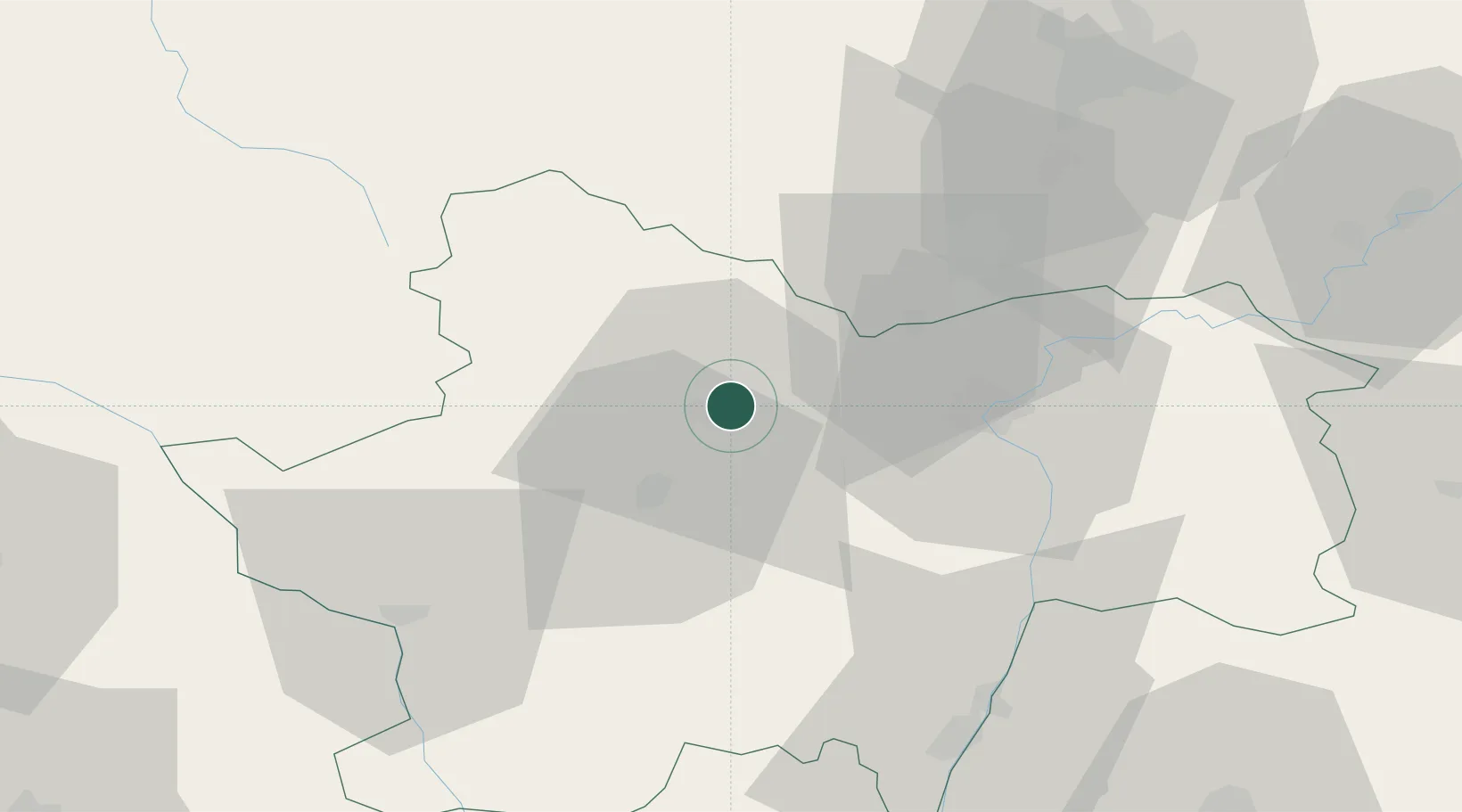
Hub Profile
Place type
Populated place
Region
Bourgogne
Population
3,529
Time zone
Europe/Paris
Elevation
359 m
Location
Nearby Logistics Neighbours
Cities
- 1Vernizy2 km
- 2Le Creusot4 km
- 3Montchanin6 km
- 4Écuisses7 km
- 5Saint-Léger-sur-Dheune13 km
Ports
- 1Fos378 km
- 2Port-de-Bouc380 km
- 3Port Saint Louis Du Rhone381 km
- 4Sete383 km
- 5Port Of Rouen389 km
Airports
- 1Saint-Yan Airport56 km
- 2Mâcon-Charnay Airfield61 km
- 3Dijon Longvic airport70 km
- 4Dole Tavaux Airport77 km
- 5Roanne-Renaison Airport91 km
Trade Zones
- 1ZFU Chenôve66 km
- 2ZFU Rillieux-la-Pape112 km
- 3ZFU Lyon 9e117 km
- 4ZFU Vaulx-en-Velin118 km
- 5ZFU Besancon125 km
DatabookThe Record of Consolidated Knowledge
France beyond logistics?