UN/LOCODE hub · France
FRBYM

Bry-sur-Marne/Paris

48.8333°, 2.5167°
2
Transport functions

Transport Functions

Rail
Road
UN/LOCODE

Hub Profile

Region
94
GeoNames

Location

Location of FRBYM
Natural Earth 10m (public domain) · 94 · FRBYM · 48.83, 2.52GoogleOSMYandex

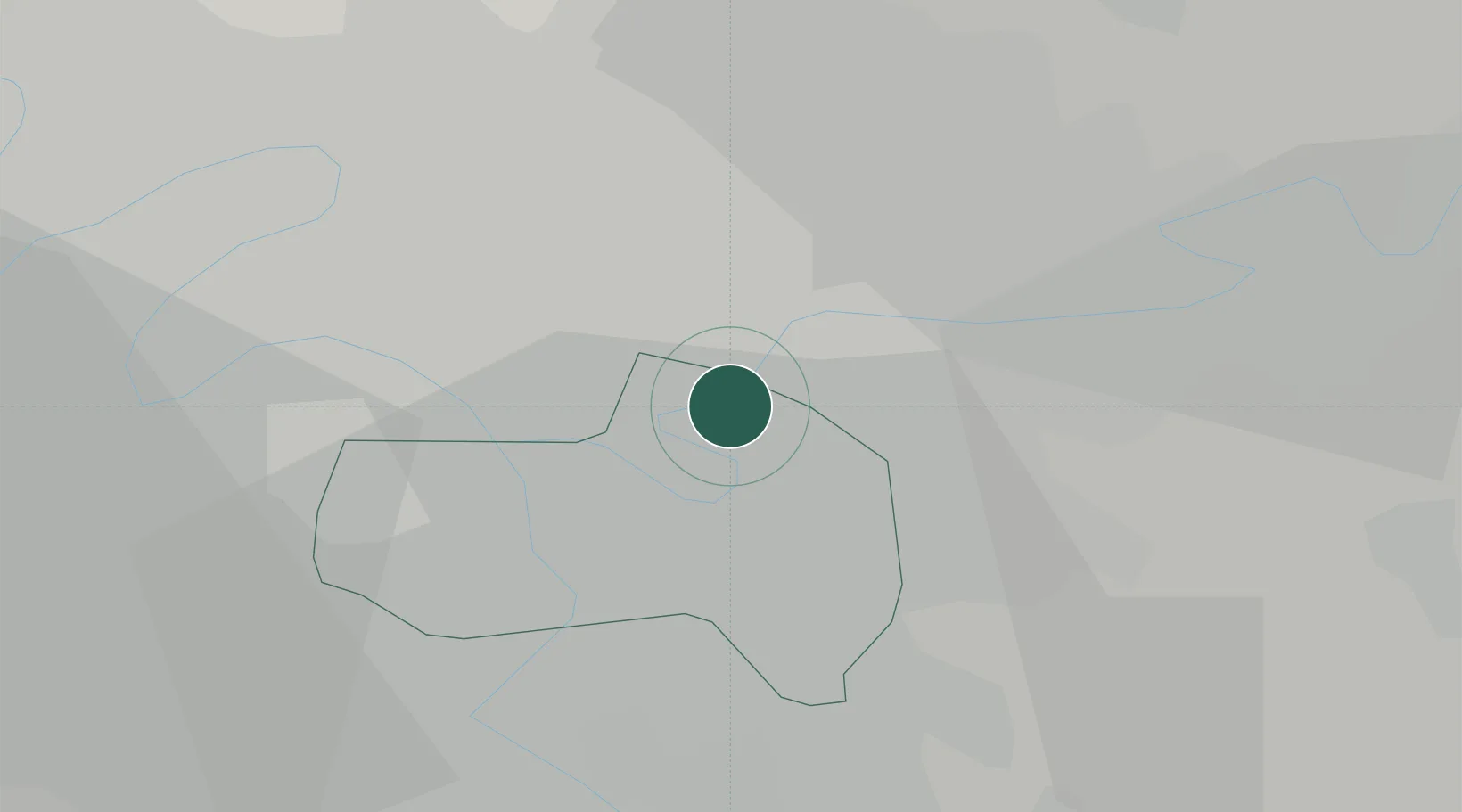
Nearby Logistics Neighbours

Cities
  1. 1Neuilly-sur-Marne2 km
  2. 2Villiers-sur-Marne2 km
  3. 3Le Perreux-sur-Marne2 km
  4. 4Nogent-sur-Marne2 km
  5. 5Gagny6 km
Nearest neighbours — logibook spatial index (haversine) over the source coordinates
Ports
  1. 1Port Of Rouen126 km
  2. 2Le Treport160 km
  3. 3Dieppe160 km
  4. 4Saint-Valery-Sur-Somme164 km
  5. 5Honfleur180 km
Nearest neighbours — logibook spatial index (haversine) over the source coordinates
Airports
  1. 1Paris-Le Bourget International Airport16 km
  2. 2Paris-Orly Airport16 km
  3. 3Charles de Gaulle International Airport20 km
  4. 4Vélizy-Villacoublay Air Base24 km
  5. 5Melun-Villaroche Airfield28 km
Nearest neighbours — logibook spatial index (haversine) over the source coordinates
Trade Zones
  1. 1ZFU Neuilly-sur-Marne4 km
  2. 2ZFU Champigny-sur-Marne et Chennevières-sur-Marne4 km
  3. 3ZFU Clichy-sous-Bois et Montfermeil8 km
  4. 4ZFU Bondy8 km
  5. 5ZFU Choisy-le-Roi et Orly11 km
Nearest neighbours — logibook spatial index (haversine) over the source coordinates
DatabookThe Record of Consolidated Knowledge
France beyond logistics?
Browse databook

All Sources

LocationsUN/LOCODE
UN/LOCODE — free
Portsthe NGA World Port Index
Public domain (US gov)
AirportsOurAirports
Public domain
Trade Zonesthe World Bank SEZ database
CC BY 4.0
Trade ZonesOpen Zone Map
CC BY
← France locations