Transport Functions
Port
Road
Hub Profile
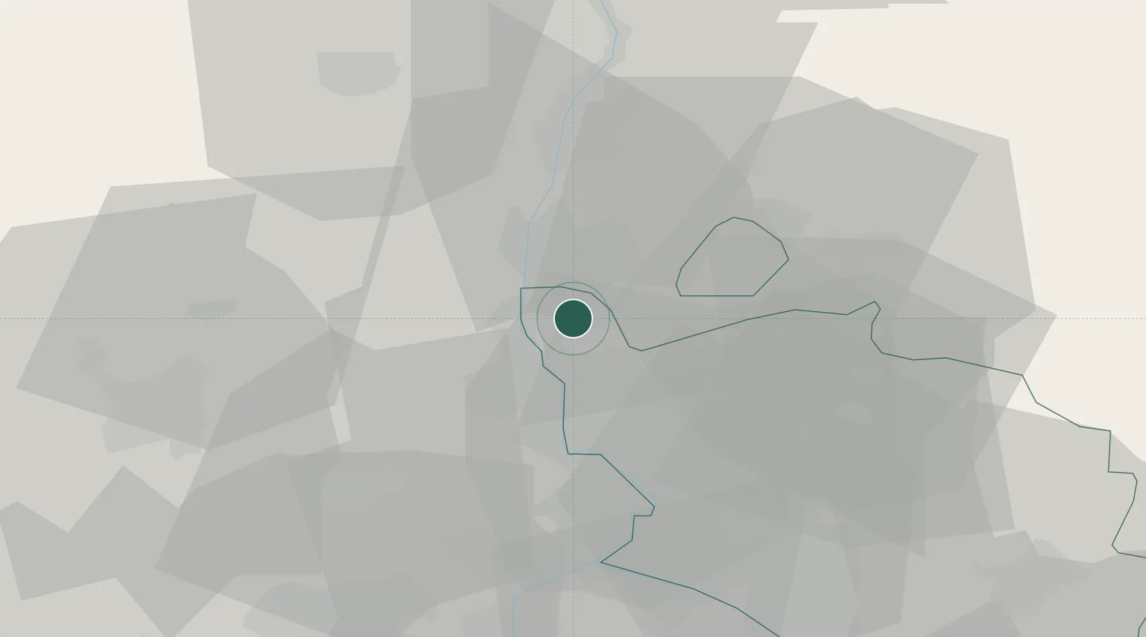
Place type
Populated place
Region
Provence-Alpes-Côte d'Azur
Population
14,703
Time zone
Europe/Paris
Elevation
57 m
Location
Nearby Logistics Neighbours
Cities
- 1Mondragon6 km
- 2Rochegude9 km
- 3Vénéjan11 km
- 4Saint-Paulet-de-Caisson11 km
- 5La Baume-de-Transit13 km
Ports
- 1Fos97 km
- 2Port-de-Bouc100 km
- 3Port Saint Louis Du Rhone100 km
- 4Marseille119 km
- 5Sete129 km
Airports
Trade Zones
- 1ZFU Avignon38 km
- 2ZFU Nîmes60 km
- 3ZFU Valence72 km
- 4ZFU Montpellier104 km
- 5ZFU Marseille 15e et 16e117 km
DatabookThe Record of Consolidated Knowledge
France beyond logistics?