Transport Functions
Road
Multimodal
Hub Profile
Place type
Populated place
Region
Occitanie
Population
1,145
Time zone
Europe/Paris
Elevation
100 m
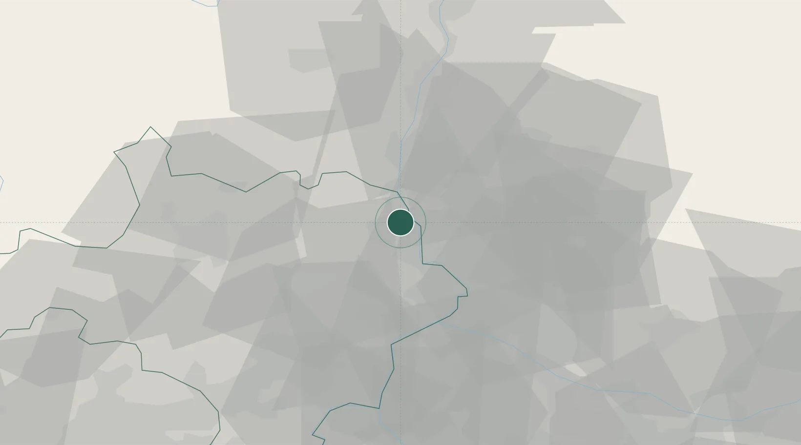
Location
Nearby Logistics Neighbours
Cities
- 1Mondragon5 km
- 2Chusclan6 km
- 3Orsan7 km
- 4Saint-Gervais8 km
- 5Saint-Paulet-de-Caisson9 km
Ports
- 1Fos89 km
- 2Port Saint Louis Du Rhone92 km
- 3Port-de-Bouc93 km
- 4Marseille113 km
- 5Sete118 km
Airports
Trade Zones
- 1ZFU Avignon30 km
- 2ZFU Nîmes49 km
- 3ZFU Valence82 km
- 4ZFU Montpellier93 km
- 5ZFU Marseille 15e et 16e112 km
DatabookThe Record of Consolidated Knowledge
France beyond logistics?