Transport Functions
Rail
Road
Hub Profile
Place type
Populated place
Region
Provence-Alpes-Côte d'Azur
Population
3,583
Time zone
Europe/Paris
Elevation
45 m
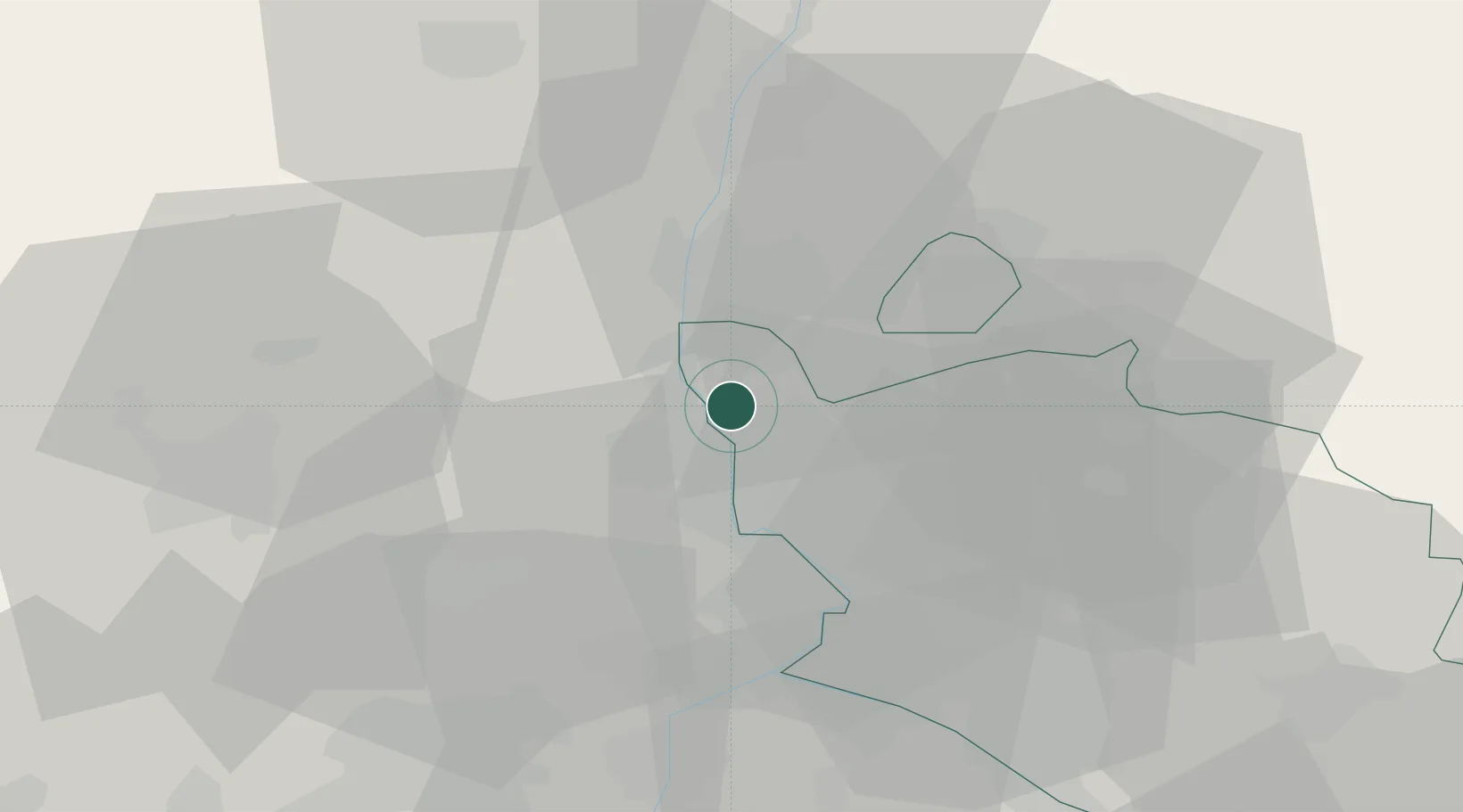
Location
Nearby Logistics Neighbours
Cities
- 1Vénéjan5 km
- 2Bollène6 km
- 3Rochegude10 km
- 4Chusclan10 km
- 5Saint-Paulet-de-Caisson10 km
Ports
- 1Fos92 km
- 2Port Saint Louis Du Rhone95 km
- 3Port-de-Bouc95 km
- 4Marseille115 km
- 5Sete123 km
Airports
Trade Zones
- 1ZFU Avignon32 km
- 2ZFU Nîmes54 km
- 3ZFU Valence77 km
- 4ZFU Montpellier99 km
- 5ZFU Marseille 15e et 16e113 km
DatabookThe Record of Consolidated Knowledge
France beyond logistics?