Transport Functions
Rail
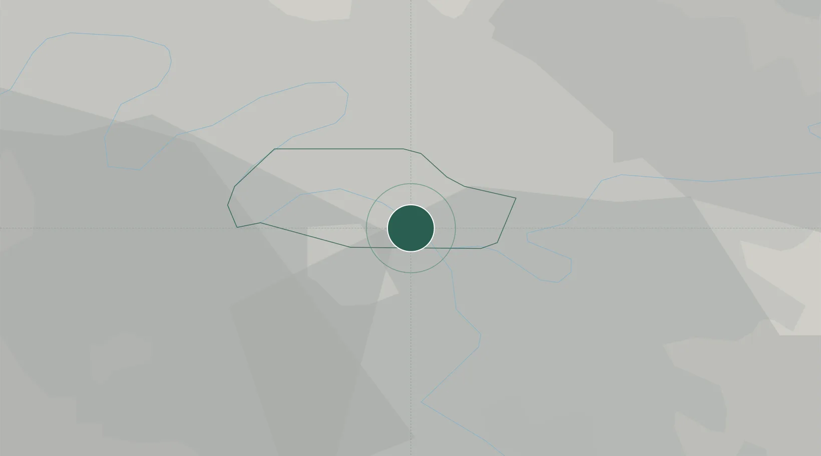
Hub Profile
Place type
Urban district
Region
Île-de-France
Population
14,427
Time zone
Europe/Paris
Elevation
42 m
Location
Nearby Logistics Neighbours
Cities
- 1Arcueil5 km
- 2Cachan7 km
- 3Bagneux7 km
- 4Châtillon7 km
- 5Le Perreux-sur-Marne7 km
Ports
- 1Port Of Rouen118 km
- 2Dieppe154 km
- 3Le Treport156 km
- 4Saint-Valery-Sur-Somme160 km
- 5Honfleur171 km
Airports
Trade Zones
DatabookThe Record of Consolidated Knowledge
France beyond logistics?