UN/LOCODE hub · France
FRJOJ

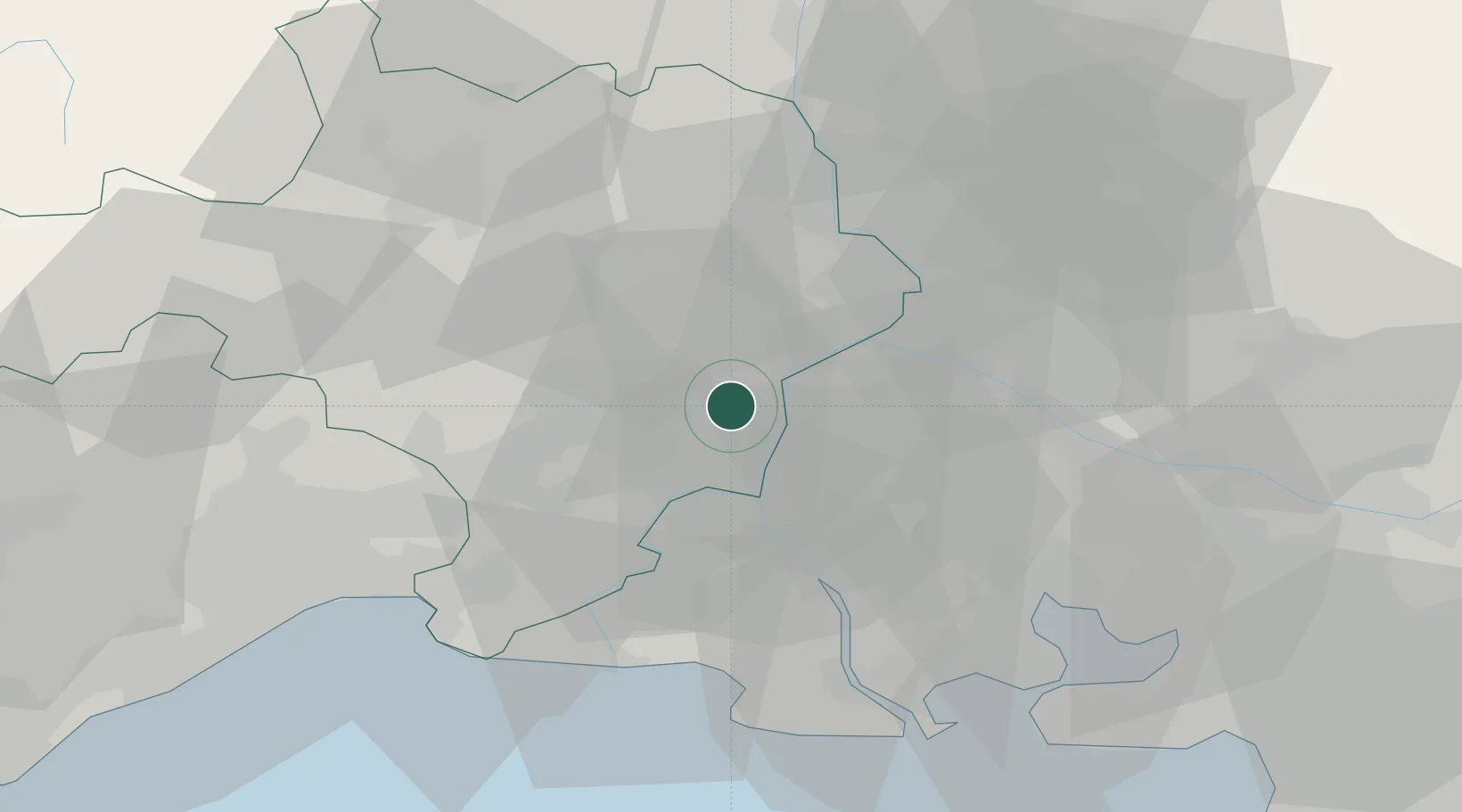
Jonquières-Saint-Vincent

43.8333°, 4.5667°
2,930
Population
1
Transport functions

Transport Functions

Multimodal
UN/LOCODE

Hub Profile

Place type
Populated place
GeoNames
Region
Occitanie
GeoNames
Population
2,930
GeoNames
Time zone
Europe/Paris
GeoNames
Elevation
38 m
GeoNames

Location

Location of FRJOJ
Natural Earth 10m (public domain) · Occitanie · FRJOJ · 43.83, 4.57GoogleOSMYandex

Nearby Logistics Neighbours

Cities
  1. 1Redessan5 km
  2. 2Meynes6 km
  3. 3Vallabrègues6 km
  4. 4Montfrin6 km
  5. 5Beaucaire7 km
Nearest neighbours — logibook spatial index (haversine) over the source coordinates
Ports
  1. 1Fos53 km
  2. 2Port Saint Louis Du Rhone54 km
  3. 3Port-de-Bouc59 km
  4. 4Sete85 km
  5. 5Marseille86 km
Nearest neighbours — logibook spatial index (haversine) over the source coordinates
Airports
  1. 1Nîmes-Arles-Camargue Airport15 km
  2. 2Avignon Caumont airport28 km
  3. 3Orange-Caritat (BA 115) Air Base42 km
  4. 4Aérodrome d'Alès Cévennes43 km
  5. 5Istres-Le Tubé Air Base45 km
Nearest neighbours — logibook spatial index (haversine) over the source coordinates
Trade Zones
  1. 1ZFU Nîmes18 km
  2. 2ZFU Avignon23 km
  3. 3ZFU Montpellier63 km
  4. 4ZFU Saint-Barthélémy, Le Canet, Delorme-Paternelle82 km
  5. 5ZFU Marseille 15e et 16e85 km
Nearest neighbours — logibook spatial index (haversine) over the source coordinates
DatabookThe Record of Consolidated Knowledge
France beyond logistics?
Browse databook

All Sources

LocationsUN/LOCODE
UN/LOCODE — free
LocationsGeoNames
CC BY 4.0
Portsthe NGA World Port Index
Public domain (US gov)
AirportsOurAirports
Public domain
Trade Zonesthe World Bank SEZ database
CC BY 4.0
Trade ZonesOpen Zone Map
CC BY
← France locations