Transport Functions
Port
Rail
Road
Hub Profile
Place type
Populated place
Region
Vaud
Time zone
Europe/Zurich
Elevation
1,043 m
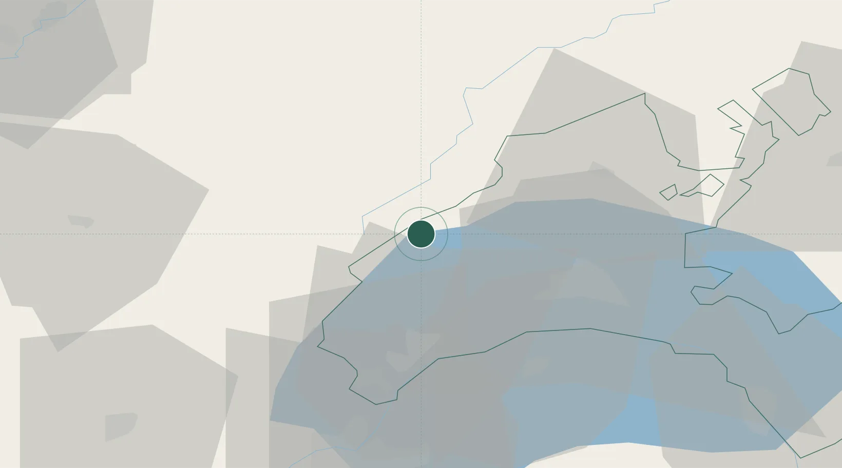
Location
Nearby Logistics Neighbours
Cities
- 1L'Abbaye4 km
- 2Les Villedieu6 km
- 3Labergement-Sainte-Marie13 km
- 4Apples17 km
- 5Yens19 km
Ports
- 1Savona312 km
- 2Rada Di Vado315 km
- 3Genova325 km
- 4Monaco337 km
- 5San Remo337 km
Airports
- 1Geneva Cointrin International Airport47 km
- 2Annemasse Airfield51 km
- 3Payerne Air Base54 km
- 4Les Eplatures Airport63 km
- 5Dole Tavaux Airport77 km
DatabookThe Record of Consolidated Knowledge
Switzerland beyond logistics?