Transport Functions
Port
Multimodal
Hub Profile
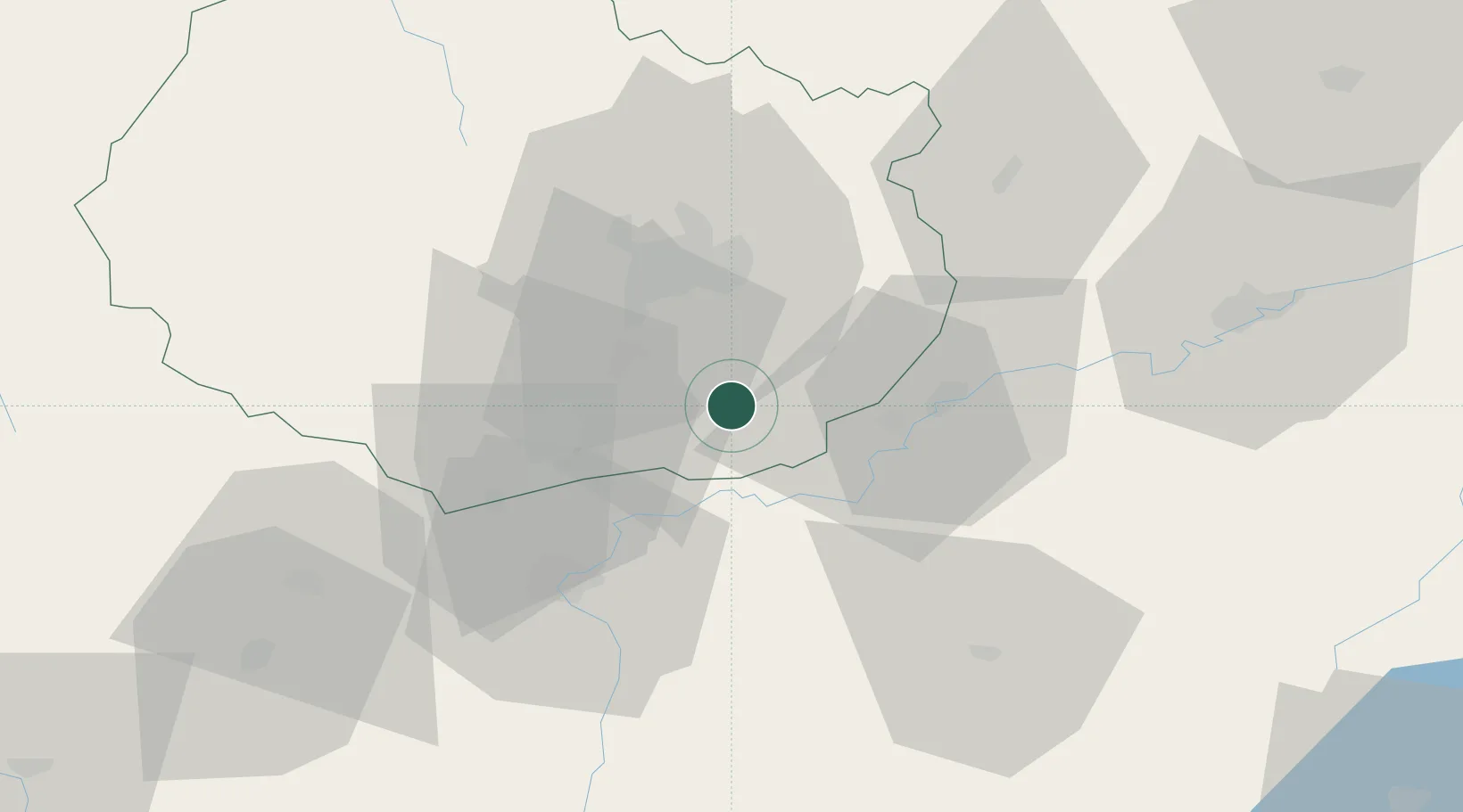
Place type
Populated place
Region
Bourgogne
Population
374
Time zone
Europe/Paris
Elevation
192 m
Location
Nearby Logistics Neighbours
Cities
- 1Pagny-la-Ville2 km
- 2Lechâtelet4 km
- 3Glanon7 km
- 4Chamblanc7 km
- 5Brazey-en-Plaine8 km
Ports
- 1Port Of Rouen401 km
- 2Savona403 km
- 3Rada Di Vado405 km
- 4Fos408 km
- 5Port-de-Bouc410 km
Airports
- 1Dijon Longvic airport21 km
- 2Dole Tavaux Airport22 km
- 3Mâcon-Charnay Airfield92 km
- 4Vesoul-Frotey Airfield101 km
- 5Saint-Yan Airport114 km
Trade Zones
DatabookThe Record of Consolidated Knowledge
France beyond logistics?