Transport Functions
Road
Multimodal
Hub Profile
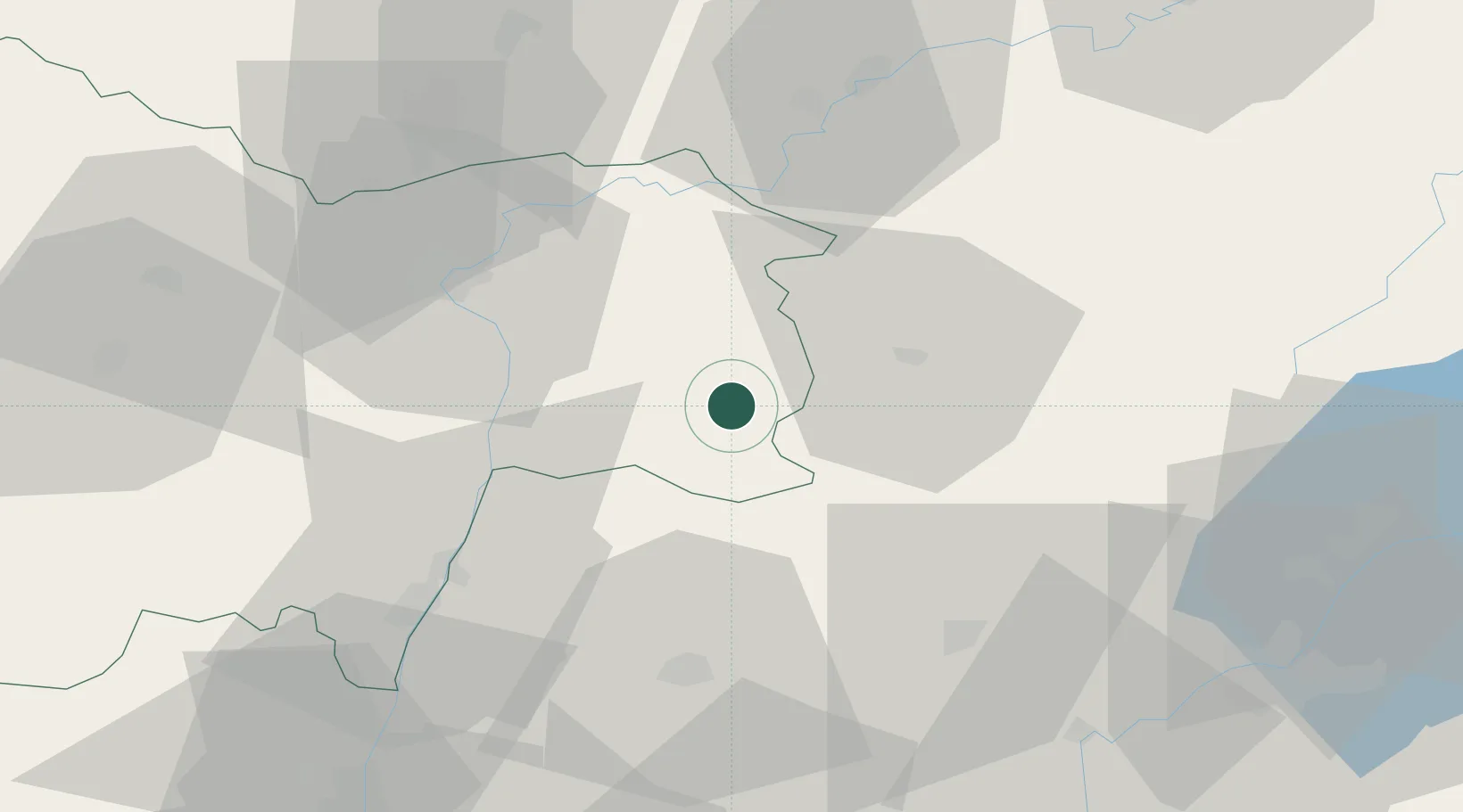
Place type
Populated place
Region
Bourgogne
Population
1,121
Time zone
Europe/Paris
Elevation
202 m
Location
Nearby Logistics Neighbours
Cities
- 1Louhans7 km
- 2Le Miroir10 km
- 3Sornay10 km
- 4Sainte-Agnès13 km
- 5Rotalier14 km
Ports
- 1Fos356 km
- 2Savona356 km
- 3Port-de-Bouc357 km
- 4Rada Di Vado358 km
- 5Nice358 km
Airports
Trade Zones
DatabookThe Record of Consolidated Knowledge
France beyond logistics?