Transport Functions
Rail
Road
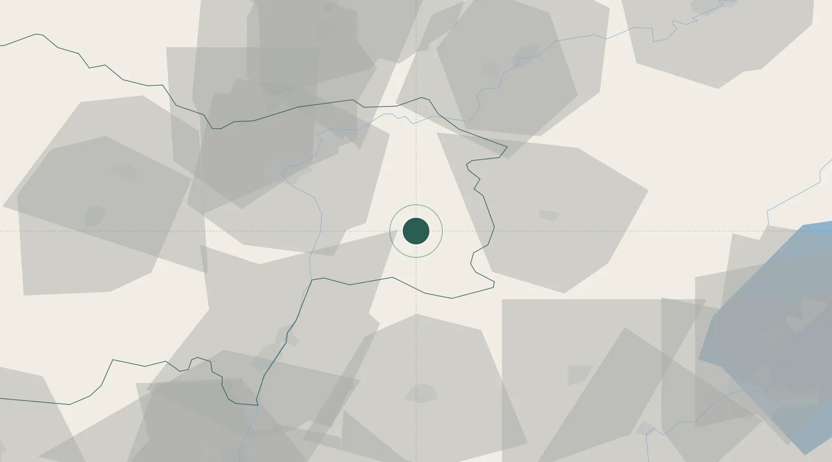
Hub Profile
Place type
District seat
Region
Bourgogne
Population
6,466
Time zone
Europe/Paris
Elevation
182 m
Location
Nearby Logistics Neighbours
Cities
- 1Sornay3 km
- 2Sagy7 km
- 3Loisy15 km
- 4Le Miroir16 km
- 5Sainte-Agnès20 km
Ports
- 1Fos359 km
- 2Port-de-Bouc360 km
- 3Port Saint Louis Du Rhone363 km
- 4Savona363 km
- 5Nice364 km
Airports
Trade Zones
DatabookThe Record of Consolidated Knowledge
France beyond logistics?