Transport Functions
Road
Multimodal
Hub Profile
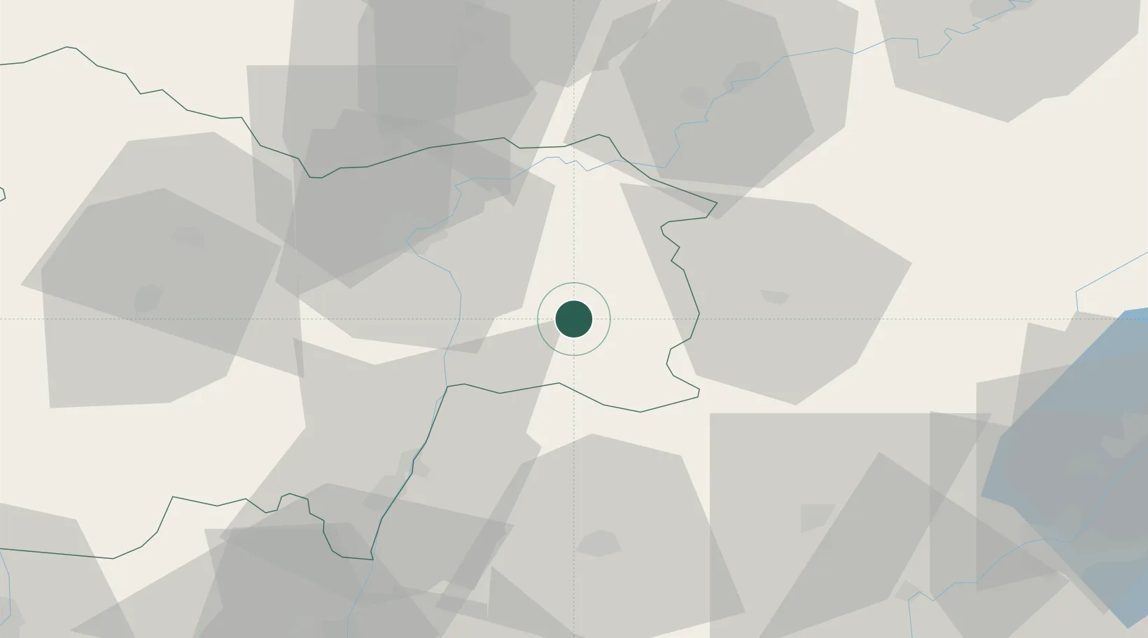
Place type
Populated place
Region
Bourgogne
Population
1,695
Time zone
Europe/Paris
Elevation
178 m
Location
Nearby Logistics Neighbours
Cities
- 1Louhans3 km
- 2Sagy10 km
- 3Loisy13 km
- 4Le Miroir17 km
- 5Gigny-sur-Saône21 km
Ports
- 1Fos359 km
- 2Port-de-Bouc360 km
- 3Port Saint Louis Du Rhone363 km
- 4Savona365 km
- 5Nice365 km
Airports
Trade Zones
DatabookThe Record of Consolidated Knowledge
France beyond logistics?