UN/LOCODE hub · France
FRSN6

Sainte-Agnès

46.6000°, 5.4667°
297
Population
1
Transport functions

Transport Functions

Multimodal
UN/LOCODE

Hub Profile

Place type
Populated place
GeoNames
Region
Bourgogne
GeoNames
Population
297
GeoNames
Time zone
Europe/Paris
GeoNames
Elevation
224 m
GeoNames

Location

Location of FRSN6
Natural Earth 10m (public domain) · Bourgogne · FRSN6 · 46.60, 5.47GoogleOSMYandex

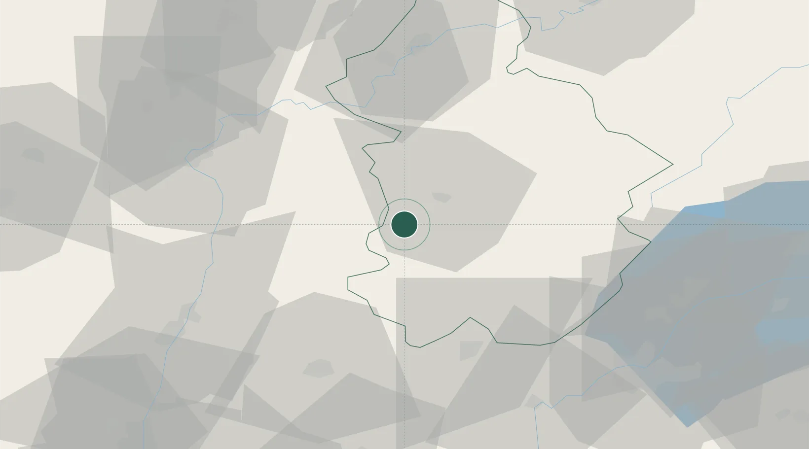
Nearby Logistics Neighbours

Cities
  1. 1Rotalier2 km
  2. 2Gevingey5 km
  3. 3Alièze9 km
  4. 4Lons-le-Saunier10 km
  5. 5Conliège12 km
Nearest neighbours — logibook spatial index (haversine) over the source coordinates
Ports
  1. 1Savona347 km
  2. 2Rada Di Vado349 km
  3. 3Nice353 km
  4. 4Monaco354 km
  5. 5Villefranche354 km
Nearest neighbours — logibook spatial index (haversine) over the source coordinates
Airports
  1. 1Dole Tavaux Airport49 km
  2. 2Mâcon-Charnay Airfield62 km
  3. 3Geneva Cointrin International Airport64 km
  4. 4Ambérieu Air Base (BA 278)69 km
  5. 5Annemasse Airfield76 km
Nearest neighbours — logibook spatial index (haversine) over the source coordinates
Trade Zones
  1. 1Geneva Cointrin International Airport Free Port64 km
  2. 2Port Franc de Geneve66 km
  3. 3Geneva Freeport, La Praille, Geneva68 km
  4. 4ZFU Besancon82 km
  5. 5PESA - Port-Franc et Entrepôts de Lausanne-Chavornay SA85 km
Nearest neighbours — logibook spatial index (haversine) over the source coordinates
DatabookThe Record of Consolidated Knowledge
France beyond logistics?
Browse databook

All Sources

LocationsUN/LOCODE
UN/LOCODE — free
LocationsGeoNames
CC BY 4.0
Portsthe NGA World Port Index
Public domain (US gov)
AirportsOurAirports
Public domain
Trade Zonesthe World Bank SEZ database
CC BY 4.0
Trade ZonesOpen Zone Map
CC BY
← France locations