Transport Functions
Multimodal
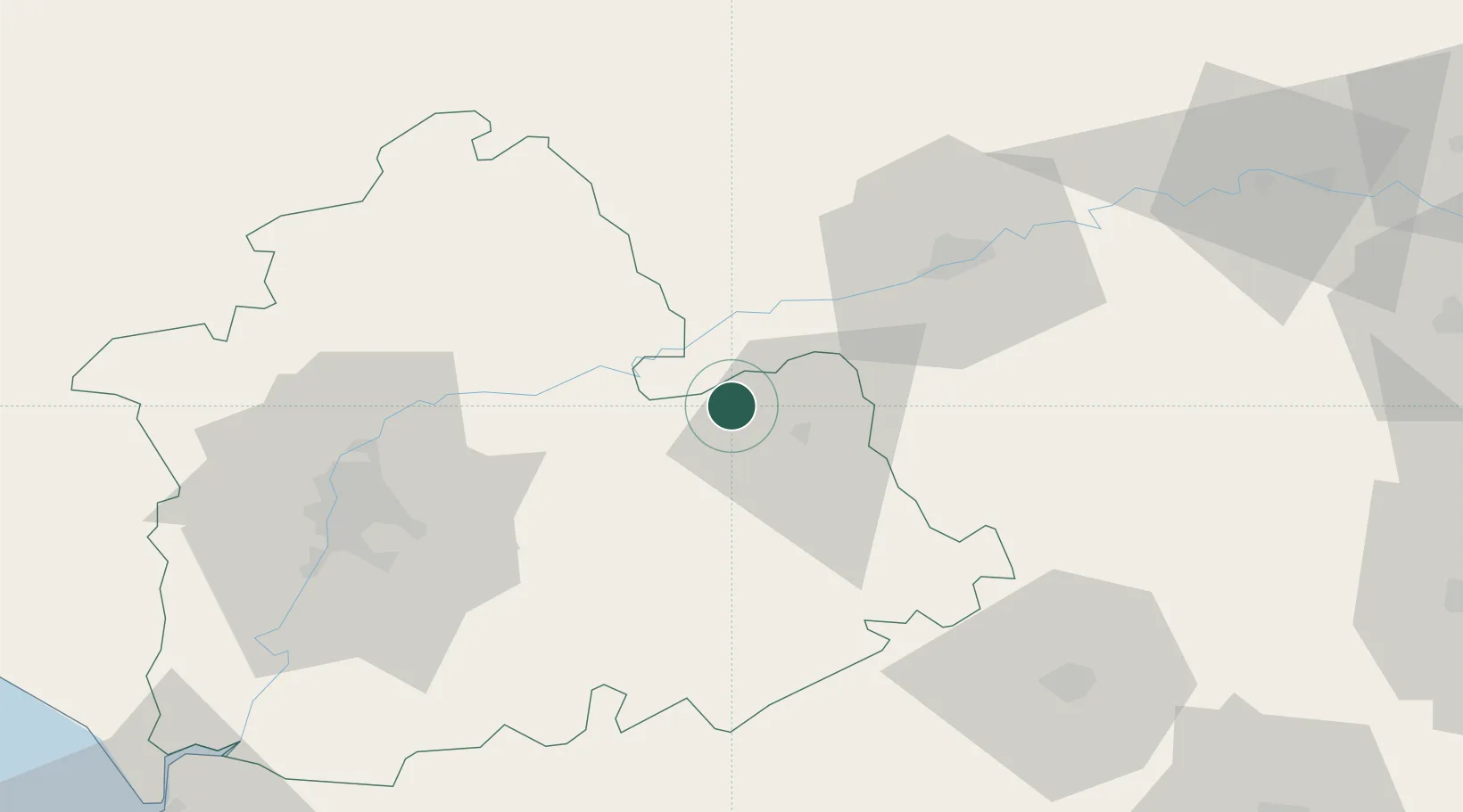
Hub Profile
Place type
District seat
Region
Andalusia
Population
3,071
Time zone
Europe/Madrid
Elevation
157 m
Location
Nearby Logistics Neighbours
Cities
- 1Fuencubierta23 km
- 2Posadas25 km
- 3La Victoria33 km
- 4Villarrubia39 km
- 5Montalban de Cordoba41 km
Airports
- 1Córdoba Airport42 km
- 2Moron Air Base59 km
- 3Seville Airport63 km
- 4Tomás Fernández Espada Airfield90 km
- 5Madroñalejos Forest Fire fighting Heliport95 km
Trade Zones
- 1Zona Franca de Sevilla75 km
- 2Depósito Franco de Málaga87 km
- 3Zona Franca de Cádiz154 km
- 4Puerto de Huelva159 km
- 5Depósito Franco de Algeciras165 km
DatabookThe Record of Consolidated Knowledge
Spain beyond logistics?