UN/LOCODE hub · Spain
ESZHW

Montalban de Cordoba
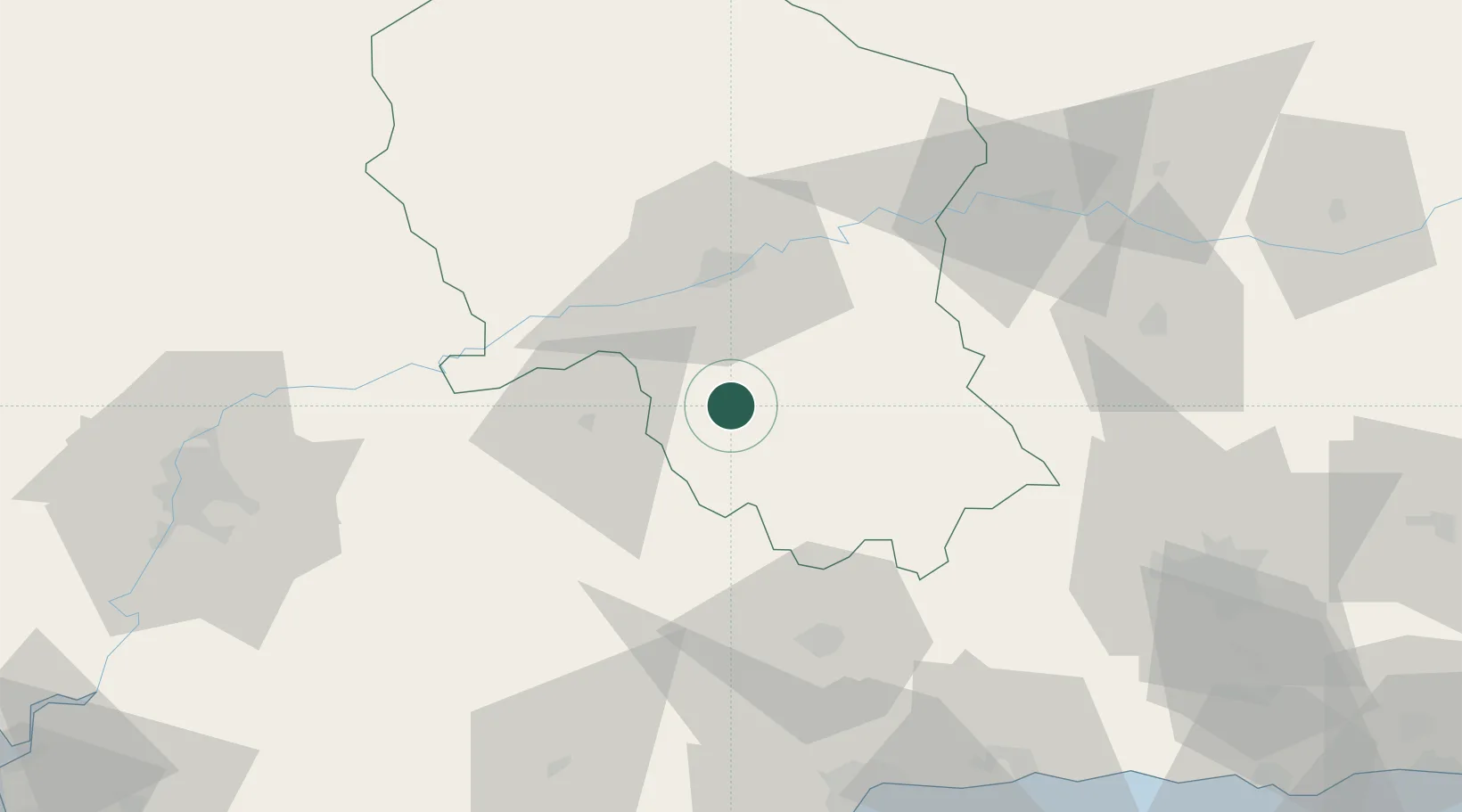
37.5833°, -4.7500°
4,665
Population
1
Transport functions

Transport Functions

Multimodal
UN/LOCODE

Hub Profile

Place type
District seat
GeoNames
Region
Andalusia
GeoNames
Population
4,665
GeoNames
Time zone
Europe/Madrid
GeoNames
Elevation
270 m
GeoNames

Location

Location of ESZHW
Natural Earth 10m (public domain) · Andalusia · ESZHW · 37.58, -4.75GoogleOSMYandex

Nearby Logistics Neighbours

Cities
  1. 1La Victoria13 km
  2. 2Fuencubierta24 km
  3. 3Villarrubia33 km
  4. 4Baena38 km
  5. 5Posadas39 km
Nearest neighbours — logibook spatial index (haversine) over the source coordinates
Ports
  1. 1Malaga101 km
  2. 2Sevilla113 km
  3. 3Motril143 km
  4. 4Algeciras172 km
  5. 5Rota177 km
Nearest neighbours — logibook spatial index (haversine) over the source coordinates
Airports
  1. 1Córdoba Airport30 km
  2. 2Moron Air Base89 km
  3. 3F.G.L. Airport Granada-Jaén Airport97 km
  4. 4Seville Airport103 km
  5. 5Málaga-Costa del Sol Airport103 km
Nearest neighbours — logibook spatial index (haversine) over the source coordinates
Trade Zones
  1. 1Depósito Franco de Málaga63 km
  2. 2Zona Franca de Sevilla114 km
  3. 3Depósito Franco de Algeciras173 km
  4. 4Zona Franca de Cádiz181 km
  5. 5Autonomous City of Ceuta195 km
Nearest neighbours — logibook spatial index (haversine) over the source coordinates
DatabookThe Record of Consolidated Knowledge
Spain beyond logistics?
Browse databook

All Sources

LocationsUN/LOCODE
UN/LOCODE — free
LocationsGeoNames
CC BY 4.0
Portsthe NGA World Port Index
Public domain (US gov)
AirportsOurAirports
Public domain
Trade Zonesthe World Bank SEZ database
CC BY 4.0
Trade ZonesOpen Zone Map
CC BY
← Spain locations