Transport Functions
Multimodal
Hub Profile
Place type
District seat
Region
Castille and León
Population
1,643
Time zone
Europe/Madrid
Elevation
958 m
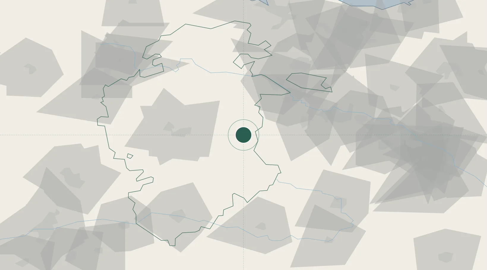
Location
Nearby Logistics Neighbours
Cities
- 1Roses6 km
- 2Belorado11 km
- 3Ezcaray15 km
- 4Cerezo de Rio Tiron19 km
- 5Tormantos23 km
Ports
- 1Puerto De Bilbao116 km
- 2Bermeo129 km
- 3Santander136 km
- 4Puerto De Pasajes153 km
- 5Bayonne193 km
Airports
- 1Burgos Airport35 km
- 2Logroño-Agoncillo Airport74 km
- 3Vitoria Airport74 km
- 4Bilbao Airport112 km
- 5Seve Ballesteros-Santander Airport133 km
Trade Zones
DatabookThe Record of Consolidated Knowledge
Spain beyond logistics?