Transport Functions
Multimodal
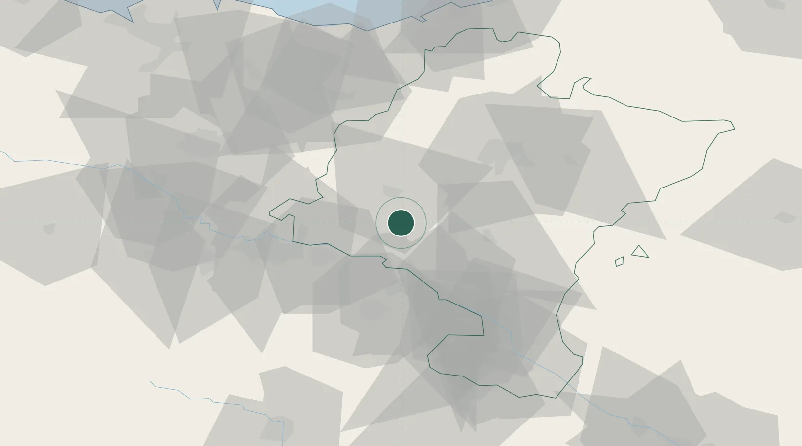
Hub Profile
Place type
District seat
Region
Navarre
Population
1,088
Time zone
Europe/Madrid
Elevation
425 m
Location
Nearby Logistics Neighbours
Cities
- 1Ayegui10 km
- 2Estella/Lizarra11 km
- 3Berbizana14 km
- 4Abartzuza17 km
- 5Ibiricu de Yerri19 km
Ports
- 1Puerto De Pasajes85 km
- 2Bermeo111 km
- 3Bayonne113 km
- 4Puerto De Bilbao122 km
- 5Santander176 km
Airports
- 1Logroño-Agoncillo Airport29 km
- 2Pamplona Airport37 km
- 3Vitoria Airport69 km
- 4San Sebastián Airport90 km
- 5Biarritz Pays Basque airport108 km
Trade Zones
DatabookThe Record of Consolidated Knowledge
Spain beyond logistics?