Transport Functions
Port
Multimodal
Hub Profile
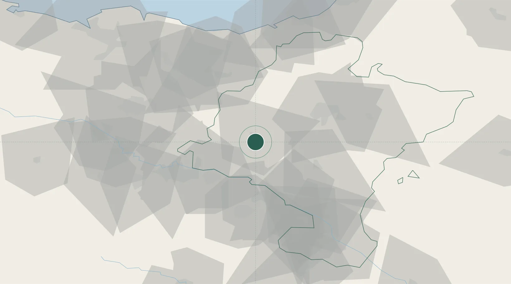
Place type
District seat
Region
Navarre
Population
1,315
Time zone
Europe/Madrid
Elevation
493 m
Location
Nearby Logistics Neighbours
Cities
- 1Estella/Lizarra2 km
- 2Abartzuza8 km
- 3Ibiricu de Yerri9 km
- 4Allo10 km
- 5Salinas de Oro19 km
Ports
- 1Puerto De Pasajes76 km
- 2Bermeo102 km
- 3Bayonne105 km
- 4Puerto De Bilbao114 km
- 5Santander169 km
Airports
- 1Logroño-Agoncillo Airport32 km
- 2Pamplona Airport34 km
- 3Vitoria Airport62 km
- 4San Sebastián Airport81 km
- 5Biarritz Pays Basque airport100 km
Trade Zones
DatabookThe Record of Consolidated Knowledge
Spain beyond logistics?