Transport Functions
Road
Multimodal
Hub Profile
Region
NA
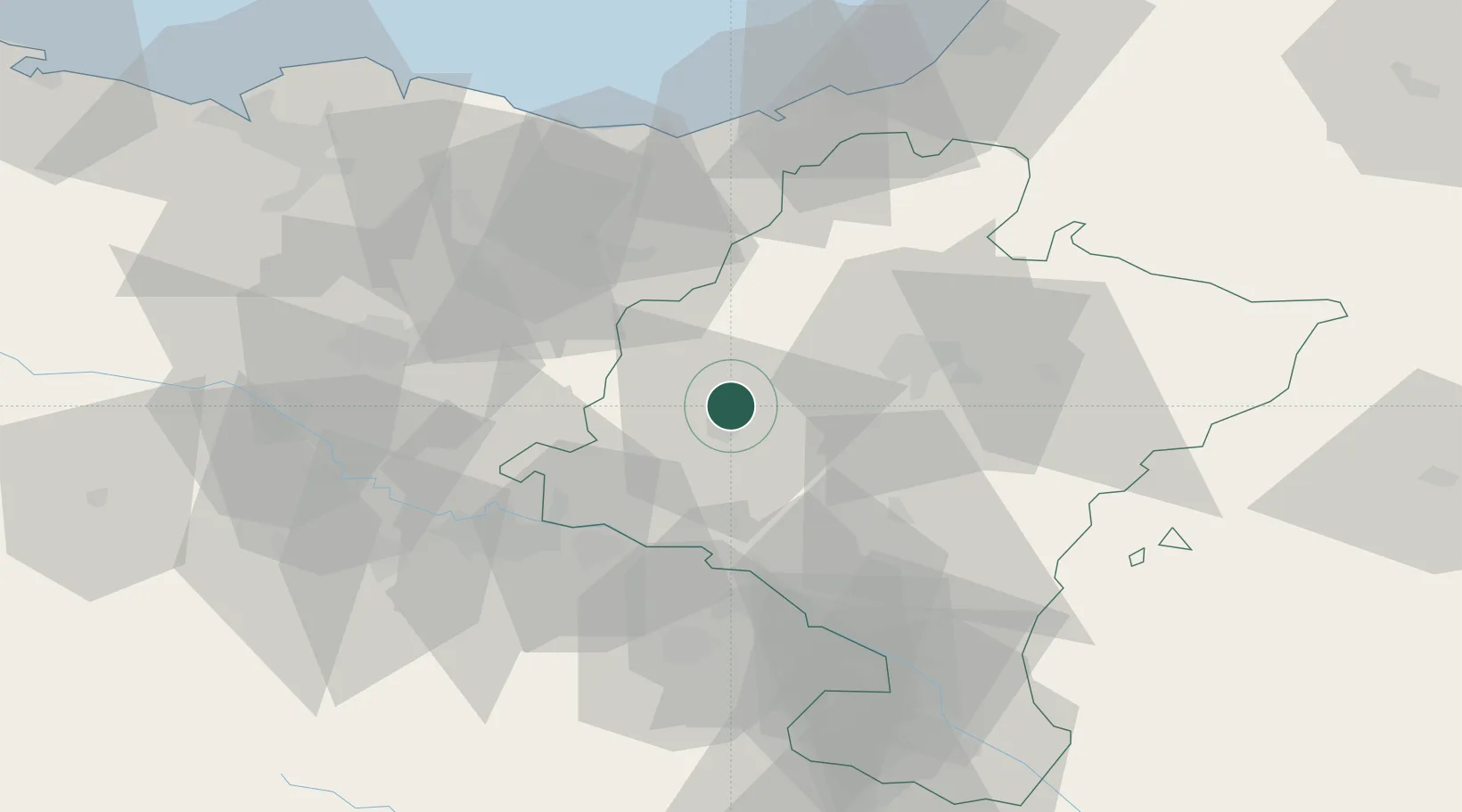
Location
Nearby Logistics Neighbours
Cities
- 1Abartzuza2 km
- 2Estella/Lizarra7 km
- 3Ayegui9 km
- 4Salinas de Oro12 km
- 5Bacáicoa18 km
Ports
- 1Puerto De Pasajes67 km
- 2Bermeo95 km
- 3Bayonne96 km
- 4Puerto De Bilbao108 km
- 5Santander165 km
Airports
- 1Pamplona Airport31 km
- 2Logroño-Agoncillo Airport39 km
- 3Vitoria Airport60 km
- 4San Sebastián Airport72 km
- 5Biarritz Pays Basque airport91 km
Trade Zones
DatabookThe Record of Consolidated Knowledge
Spain beyond logistics?