UN/LOCODE hub · Spain
ESNVV

Abartzuza

42.7167°, -2.0167°
1
Transport functions

Transport Functions

Multimodal
UN/LOCODE

Hub Profile

Region
NA
GeoNames

Location

Location of ESNVV
Natural Earth 10m (public domain) · NA · ESNVV · 42.72, -2.02GoogleOSMYandex

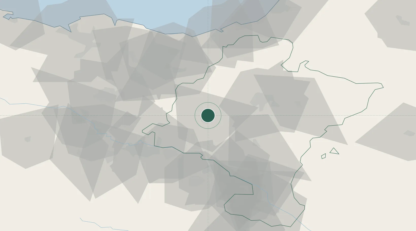
Nearby Logistics Neighbours

Cities
  1. 1Ibiricu de Yerri2 km
  2. 2Estella/Lizarra6 km
  3. 3Ayegui8 km
  4. 4Salinas de Oro13 km
  5. 5Allo17 km
Nearest neighbours — logibook spatial index (haversine) over the source coordinates
Ports
  1. 1Puerto De Pasajes69 km
  2. 2Bermeo96 km
  3. 3Bayonne98 km
  4. 4Puerto De Bilbao110 km
  5. 5Santander166 km
Nearest neighbours — logibook spatial index (haversine) over the source coordinates
Airports
  1. 1Pamplona Airport31 km
  2. 2Logroño-Agoncillo Airport38 km
  3. 3Vitoria Airport61 km
  4. 4San Sebastián Airport74 km
  5. 5Biarritz Pays Basque airport93 km
Nearest neighbours — logibook spatial index (haversine) over the source coordinates
Trade Zones
  1. 1Depósito Franco de Pasajes (Guipúzcoa)68 km
  2. 2Depósito Franco de Bilbao108 km
  3. 3Depósito Franco de Villafría (Burgos)145 km
  4. 4Depósito Franco de Zaragoza158 km
  5. 5Zona Franca de Santander167 km
Nearest neighbours — logibook spatial index (haversine) over the source coordinates
DatabookThe Record of Consolidated Knowledge
Spain beyond logistics?
Browse databook

All Sources

LocationsUN/LOCODE
UN/LOCODE — free
Portsthe NGA World Port Index
Public domain (US gov)
AirportsOurAirports
Public domain
Trade Zonesthe World Bank SEZ database
CC BY 4.0
Trade ZonesOpen Zone Map
CC BY
← Spain locations