Transport Functions
Port
Hub Profile
Place type
District seat
Region
Castille and León
Population
931
Time zone
Europe/Madrid
Elevation
754 m
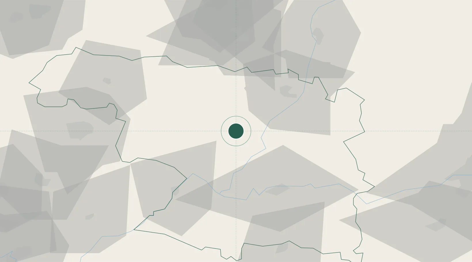
Location
Nearby Logistics Neighbours
Cities
- 1Camarzana Tera21 km
- 2Ferreras21 km
- 3Brime de Urz25 km
- 4Villaflor26 km
- 5Rabanales28 km
Airports
- 1Bragança Airport63 km
- 2León Int'l Airport90 km
- 3Valladolid Airport92 km
- 4Salamanca Airport103 km
- 5Vila Real Airport159 km
Trade Zones
DatabookThe Record of Consolidated Knowledge
Spain beyond logistics?