Transport Functions
Road
Multimodal
Hub Profile
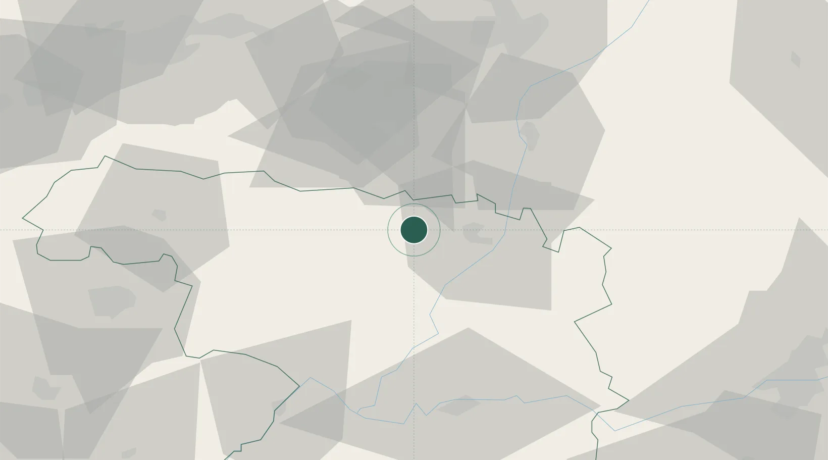
Place type
District seat
Region
Castille and León
Population
147
Time zone
Europe/Madrid
Elevation
760 m
Location
Nearby Logistics Neighbours
Cities
- 1Santibanez de Vidriales13 km
- 2Camarzana Tera13 km
- 3San Cristobal de Entrevinas19 km
- 4Tabara25 km
- 5Grajal de Ribera27 km
Ports
- 1Gijon169 km
- 2Aviles174 km
- 3Ribadeo192 km
- 4San Ciprian225 km
- 5Santander233 km
Airports
- 1León Int'l Airport64 km
- 2Bragança Airport72 km
- 3Valladolid Airport92 km
- 4Salamanca Airport124 km
- 5Asturias Airport171 km
Trade Zones
- 1Depósito Franco de Gijón171 km
- 2Depósito Franco de Villafría (Burgos)180 km
- 3Zona Franca de Santander230 km
- 4Zona Franca de Vigo239 km
- 5Zona Livre Tecnológica Masotinhos253 km
DatabookThe Record of Consolidated Knowledge
Spain beyond logistics?