Transport Functions
Multimodal
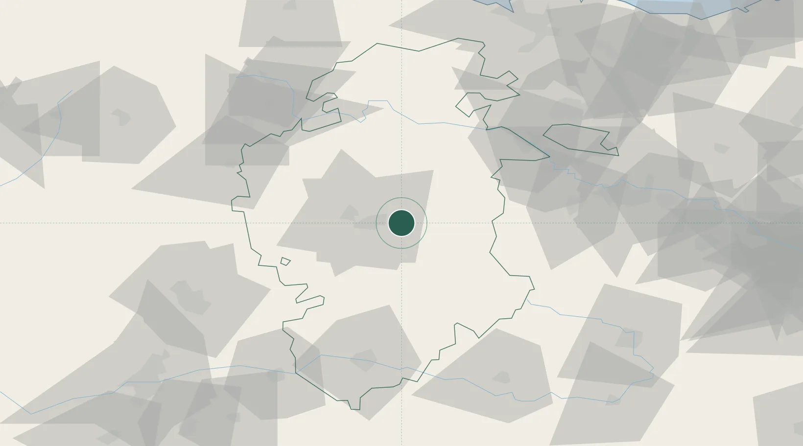
Hub Profile
Place type
District seat
Region
Castille and León
Population
1,279
Time zone
Europe/Madrid
Elevation
933 m
Location
Nearby Logistics Neighbours
Cities
- 1Villafría de Burgos7 km
- 2Burgos8 km
- 3Cardenadijo12 km
- 4Saldaña de Burgos15 km
- 5Valdorros23 km
Ports
- 1Puerto De Bilbao120 km
- 2Santander128 km
- 3Bermeo138 km
- 4Puerto De Pasajes171 km
- 5Bayonne213 km
Airports
- 1Burgos Airport8 km
- 2Vitoria Airport90 km
- 3Logroño-Agoncillo Airport101 km
- 4Bilbao Airport119 km
- 5Seve Ballesteros-Santander Airport124 km
Trade Zones
DatabookThe Record of Consolidated Knowledge
Spain beyond logistics?