UN/LOCODE hub · Spain
ESPSL

Posada de Llanera

43.4333°, -5.8500°
1
Transport functions

Transport Functions

Port
UN/LOCODE

Hub Profile

Region
LU
GeoNames

Location

Location of ESPSL
Natural Earth 10m (public domain) · LU · ESPSL · 43.43, -5.85GoogleOSMYandex

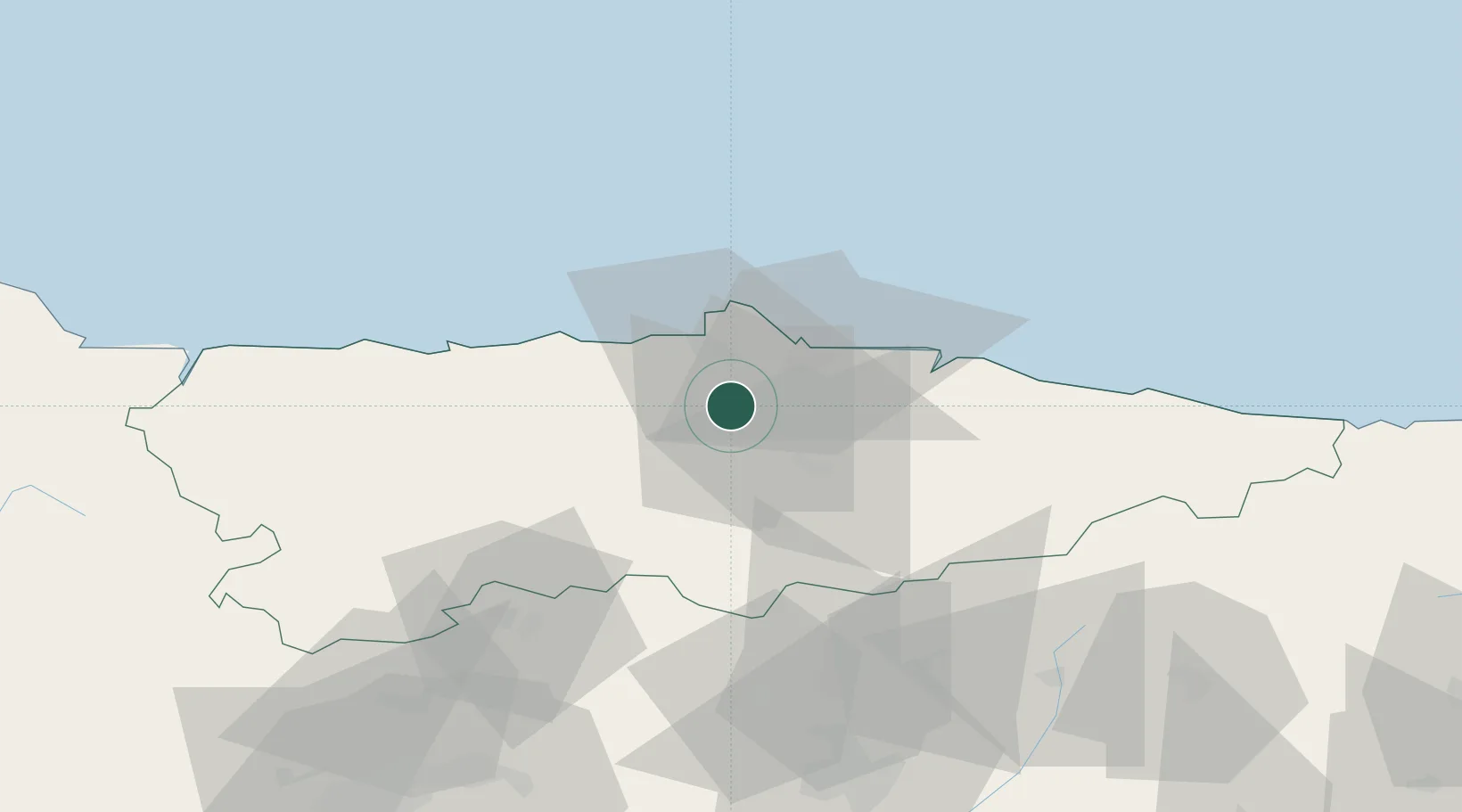
Nearby Logistics Neighbours

Cities
  1. 1Coruño1 km
  2. 2Lugo de Llanera3 km
  3. 3Piedramuelle10 km
  4. 4Fonciello11 km
  5. 5Tamón11 km
Nearest neighbours — logibook spatial index (haversine) over the source coordinates
Ports
  1. 1Gijon20 km
  2. 2Aviles20 km
  3. 3Ribadeo96 km
  4. 4San Ciprian131 km
  5. 5Santander167 km
Nearest neighbours — logibook spatial index (haversine) over the source coordinates
Airports
  1. 1Asturias Airport21 km
  2. 2León Int'l Airport95 km
  3. 3Seve Ballesteros-Santander Airport164 km
  4. 4Bragança Airport189 km
  5. 5Valladolid Airport209 km
Nearest neighbours — logibook spatial index (haversine) over the source coordinates
Trade Zones
  1. 1Depósito Franco de Gijón19 km
  2. 2Zona Franca de Santander164 km
  3. 3Depósito Franco de La Coruña206 km
  4. 4Depósito Franco de Villafría (Burgos)210 km
  5. 5Depósito Franco de Bilbao227 km
Nearest neighbours — logibook spatial index (haversine) over the source coordinates
DatabookThe Record of Consolidated Knowledge
Spain beyond logistics?
Browse databook

All Sources

LocationsUN/LOCODE
UN/LOCODE — free
Portsthe NGA World Port Index
Public domain (US gov)
AirportsOurAirports
Public domain
Trade Zonesthe World Bank SEZ database
CC BY 4.0
Trade ZonesOpen Zone Map
CC BY
← Spain locations