Transport Functions
Port
Rail
Road
Multimodal
Postal
Hub Profile
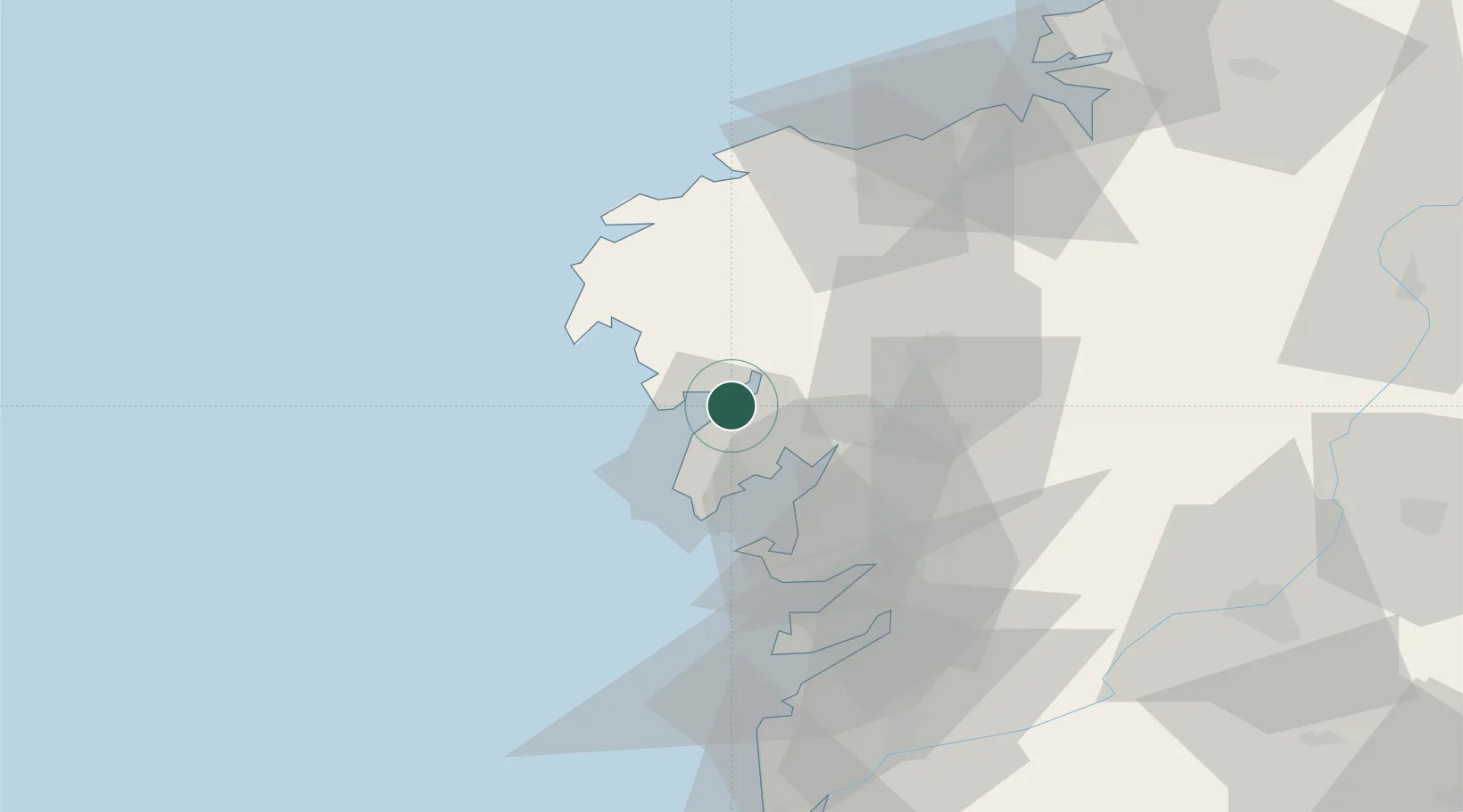
Place type
Populated place
Region
Galicia
Population
630
Time zone
Europe/Madrid
Elevation
9 m
Location
Nearby Logistics Neighbours
Cities
- 1Outeiro6 km
- 2Outes10 km
- 3Son (Puerto del Son)11 km
- 4Valladares13 km
- 5Boiro14 km
Ports
- 1Villagarcia De Arosa24 km
- 2Marin46 km
- 3Vigo62 km
- 4La Coruna80 km
- 5Ferrol99 km
Airports
- 1Santiago-Rosalía de Castro Airport46 km
- 2Vigo Airport65 km
- 3A Coruña Airport76 km
- 4Braga Municipal Aerodrome138 km
- 5Vilar de Luz Airfield169 km
Trade Zones
DatabookThe Record of Consolidated Knowledge
Spain beyond logistics?