Transport Functions
Port
Rail
Road
Hub Profile
Region
C
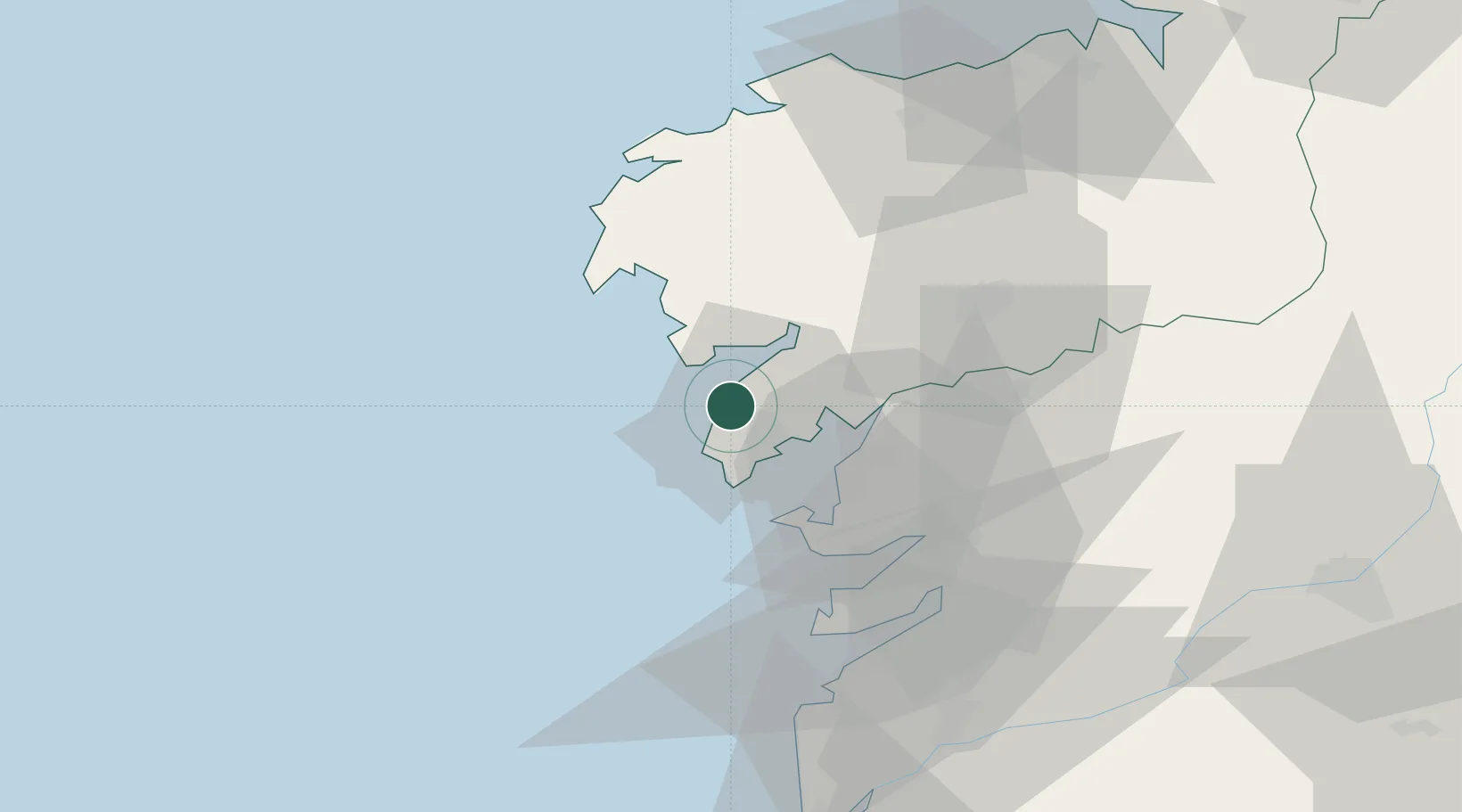
Location
Nearby Logistics Neighbours
Cities
- 1Boiro10 km
- 2Portosin11 km
- 3Puebla del Caramiñal12 km
- 4Pobra do Caraminal12 km
- 5Santa Eugenia15 km
Ports
- 1Villagarcia De Arosa23 km
- 2Marin41 km
- 3Vigo56 km
- 4La Coruna91 km
- 5Ferrol109 km
Airports
- 1Santiago-Rosalía de Castro Airport55 km
- 2Vigo Airport60 km
- 3A Coruña Airport86 km
- 4Braga Municipal Aerodrome131 km
- 5Vilar de Luz Airfield162 km
Trade Zones
DatabookThe Record of Consolidated Knowledge
Spain beyond logistics?