Transport Functions
Port
Road
Hub Profile
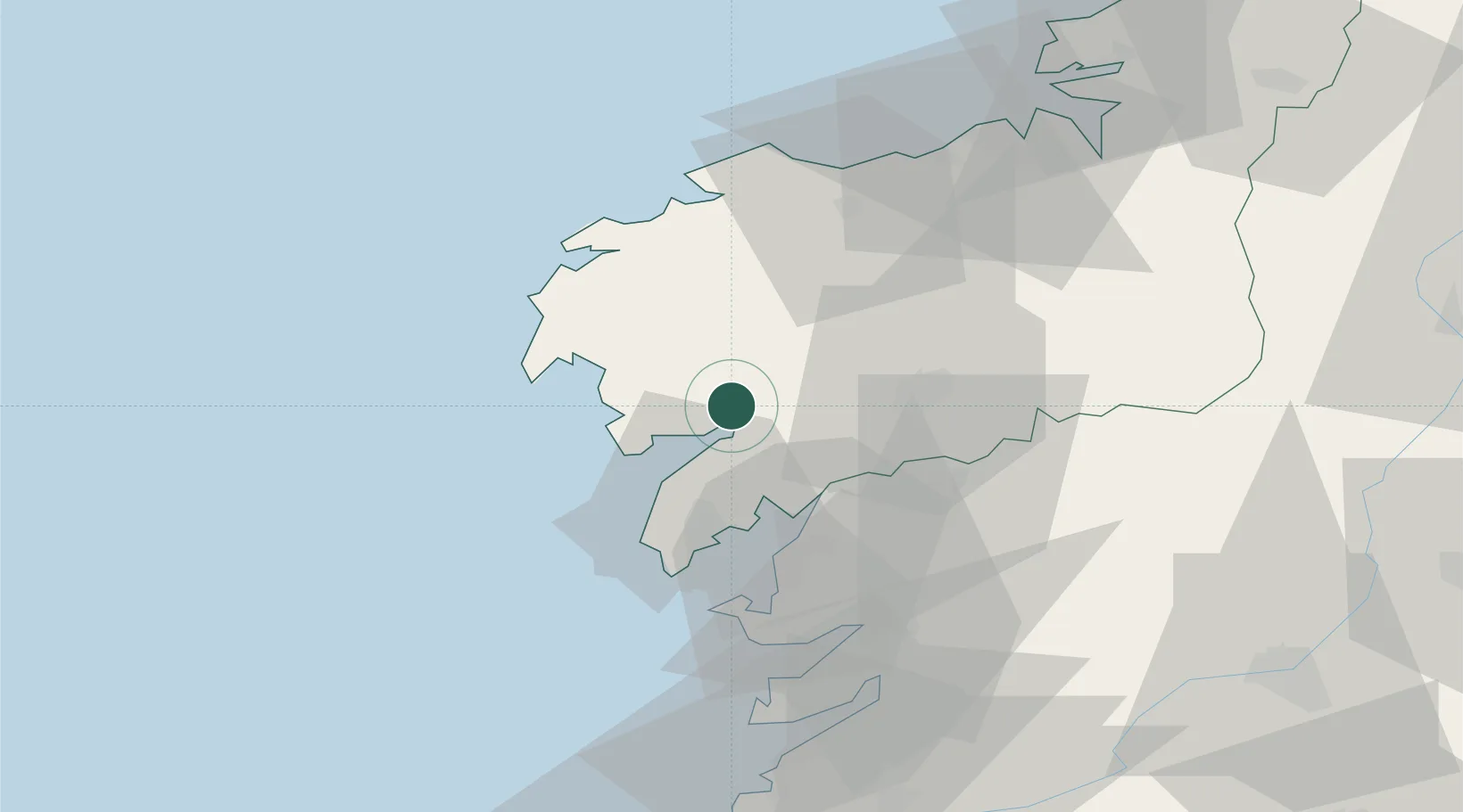
Place type
District seat
Region
Galicia
Population
7,902
Time zone
Europe/Madrid
Elevation
57 m
Location
Nearby Logistics Neighbours
Cities
- 1Outeiro4 km
- 2Valladares7 km
- 3Portosin10 km
- 4Son (Puerto del Son)21 km
- 5Boiro22 km
Ports
- 1Villagarcia De Arosa30 km
- 2Marin53 km
- 3Vigo70 km
- 4La Coruna70 km
- 5Ferrol89 km
Airports
- 1Santiago-Rosalía de Castro Airport40 km
- 2A Coruña Airport66 km
- 3Vigo Airport72 km
- 4Braga Municipal Aerodrome145 km
- 5Vilar de Luz Airfield178 km
Trade Zones
DatabookThe Record of Consolidated Knowledge
Spain beyond logistics?