UN/LOCODE hub · Spain
ESPGO

Pielagos

43.3500°, -3.9500°
1
Transport functions

Transport Functions

Multimodal
UN/LOCODE

Hub Profile

Region
S
GeoNames

Location

Location of ESPGO
Natural Earth 10m (public domain) · S · ESPGO · 43.35, -3.95GoogleOSMYandex

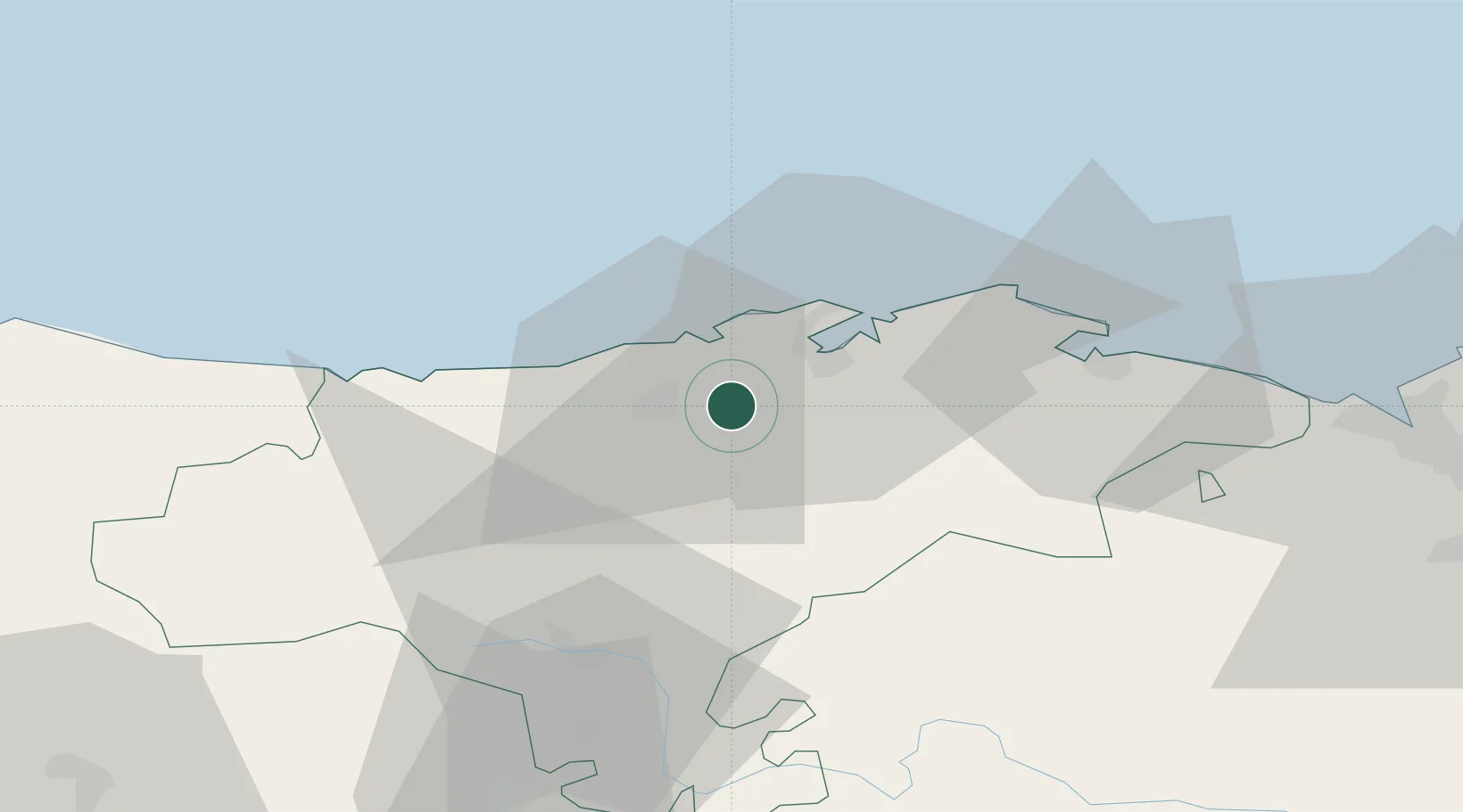
Nearby Logistics Neighbours

Cities
  1. 1Parbayon7 km
  2. 2Revilla de Camargo7 km
  3. 3Barreda7 km
  4. 4Cudon8 km
  5. 5Puente San Miguel11 km
Nearest neighbours — logibook spatial index (haversine) over the source coordinates
Ports
  1. 1Santander19 km
  2. 2Puerto De Bilbao73 km
  3. 3Bermeo100 km
  4. 4Gijon140 km
  5. 5Aviles162 km
Nearest neighbours — logibook spatial index (haversine) over the source coordinates
Airports
  1. 1Seve Ballesteros-Santander Airport14 km
  2. 2Bilbao Airport84 km
  3. 3Vitoria Airport112 km
  4. 4Burgos Airport114 km
  5. 5León Int'l Airport162 km
Nearest neighbours — logibook spatial index (haversine) over the source coordinates
Trade Zones
  1. 1Zona Franca de Santander16 km
  2. 2Depósito Franco de Bilbao74 km
  3. 3Depósito Franco de Villafría (Burgos)110 km
  4. 4Depósito Franco de Gijón143 km
  5. 5Depósito Franco de Pasajes (Guipúzcoa)164 km
Nearest neighbours — logibook spatial index (haversine) over the source coordinates
DatabookThe Record of Consolidated Knowledge
Spain beyond logistics?
Browse databook

All Sources

LocationsUN/LOCODE
UN/LOCODE — free
Portsthe NGA World Port Index
Public domain (US gov)
AirportsOurAirports
Public domain
Trade Zonesthe World Bank SEZ database
CC BY 4.0
Trade ZonesOpen Zone Map
CC BY
← Spain locations