Transport Functions
Port
Hub Profile
Place type
District seat
Region
Castille and León
Population
39,264
Time zone
Europe/Madrid
Elevation
466 m
Logistics facilities
1
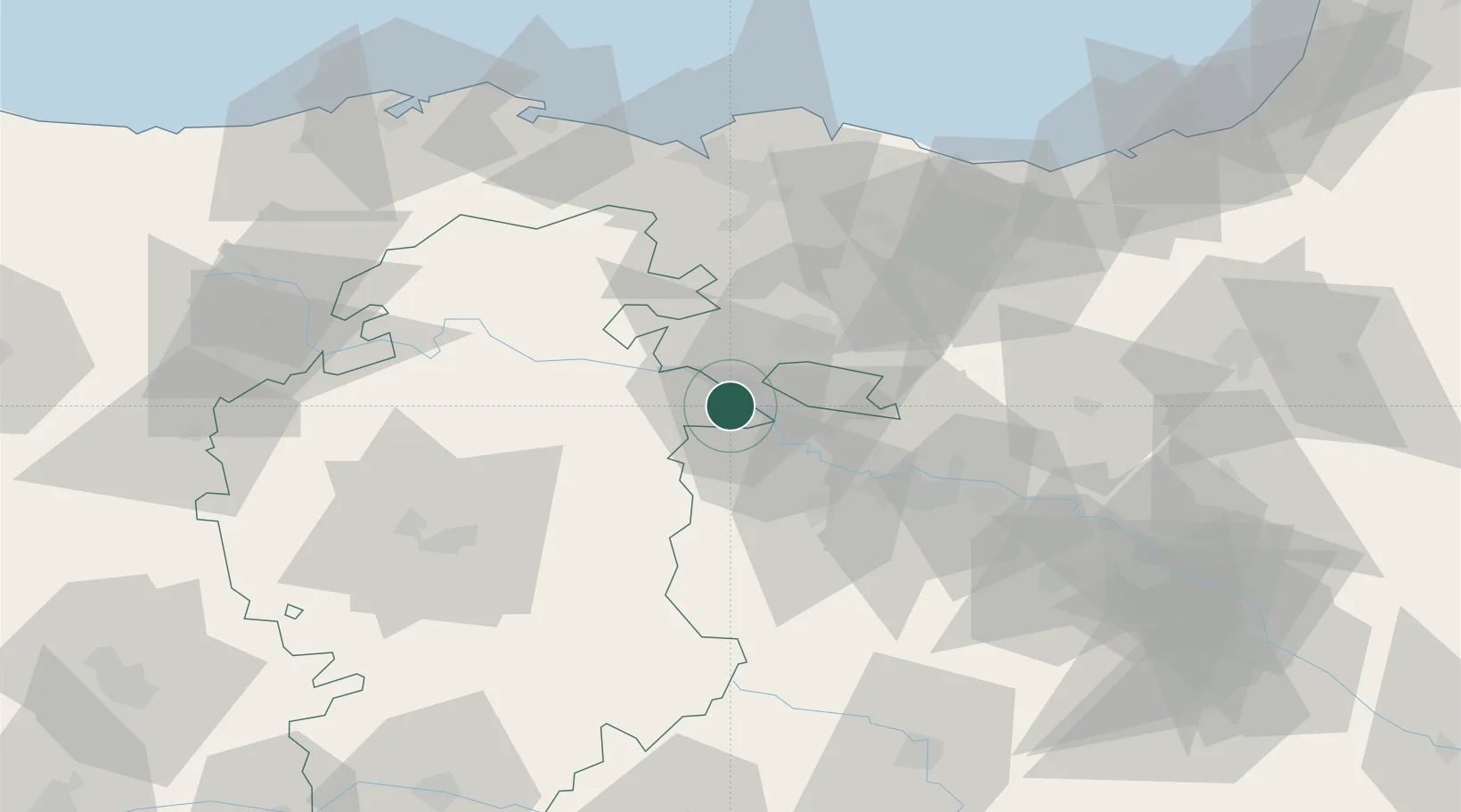
Location
Nearby Logistics Neighbours
Cities
- 1Berantevilla8 km
- 2Pancorbo13 km
- 3Berguenda14 km
- 4Cuzcurrita del Rio Tirón15 km
- 5Casalarreina15 km
Ports
- 1Puerto De Bilbao75 km
- 2Bermeo84 km
- 3Puerto De Pasajes110 km
- 4Santander110 km
- 5Bayonne151 km
Airports
- 1Vitoria Airport29 km
- 2Logroño-Agoncillo Airport57 km
- 3Burgos Airport66 km
- 4Bilbao Airport69 km
- 5Pamplona Airport107 km
Trade Zones
DatabookThe Record of Consolidated Knowledge
Spain beyond logistics?