Transport Functions
Multimodal
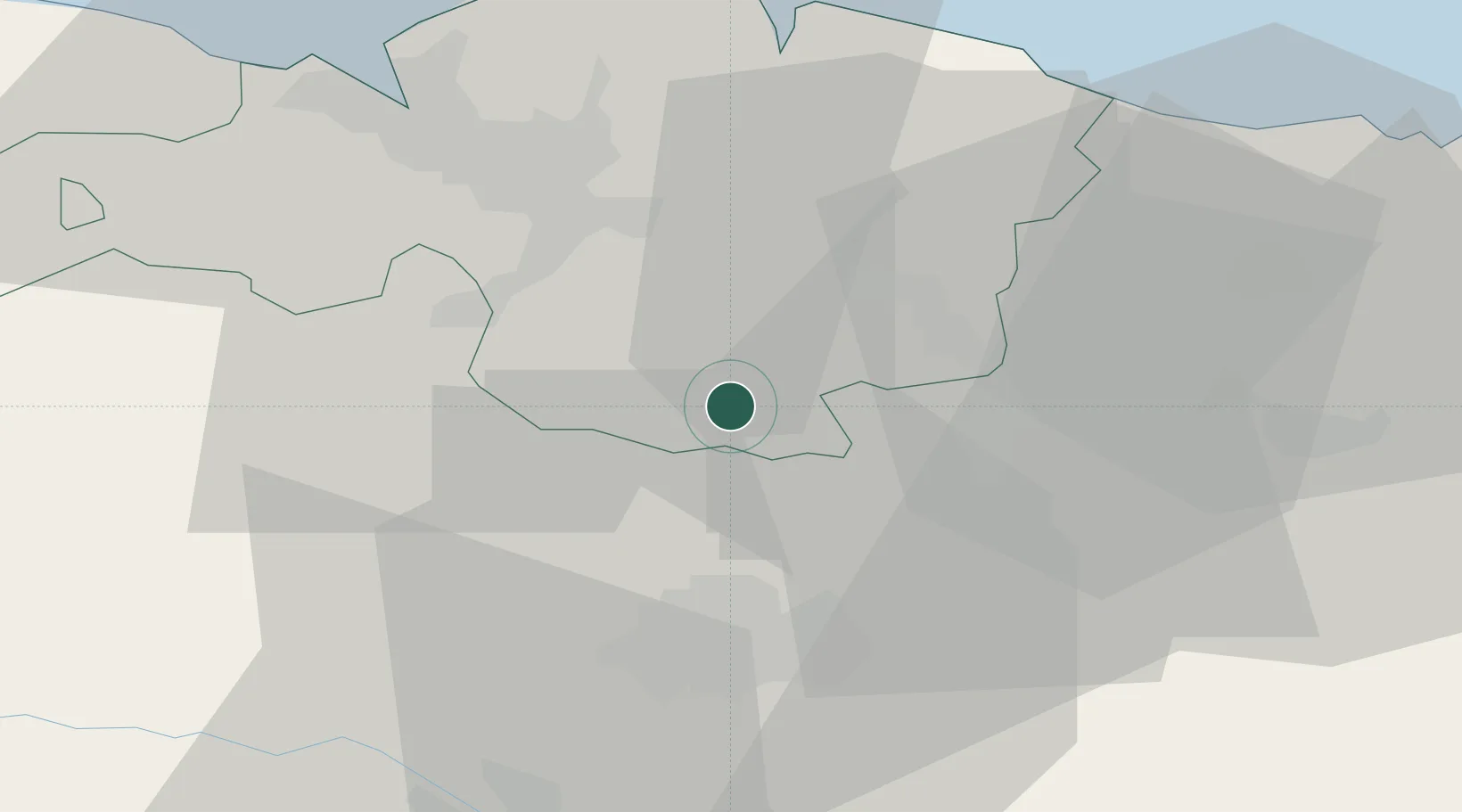
Hub Profile
Place type
District seat
Region
Basque Country
Population
1,163
Time zone
Europe/Madrid
Elevation
168 m
Location
Nearby Logistics Neighbours
Cities
- 1Ochandiano8 km
- 2Otxandio8 km
- 3Artea9 km
- 4Izurza12 km
- 5Villarreal de Álava12 km
Ports
- 1Bermeo39 km
- 2Puerto De Bilbao41 km
- 3Puerto De Pasajes71 km
- 4Santander96 km
- 5Bayonne113 km
Airports
- 1Vitoria Airport21 km
- 2Bilbao Airport30 km
- 3Logroño-Agoncillo Airport75 km
- 4San Sebastián Airport83 km
- 5Pamplona Airport95 km
Trade Zones
DatabookThe Record of Consolidated Knowledge
Spain beyond logistics?