Transport Functions
Port
Road
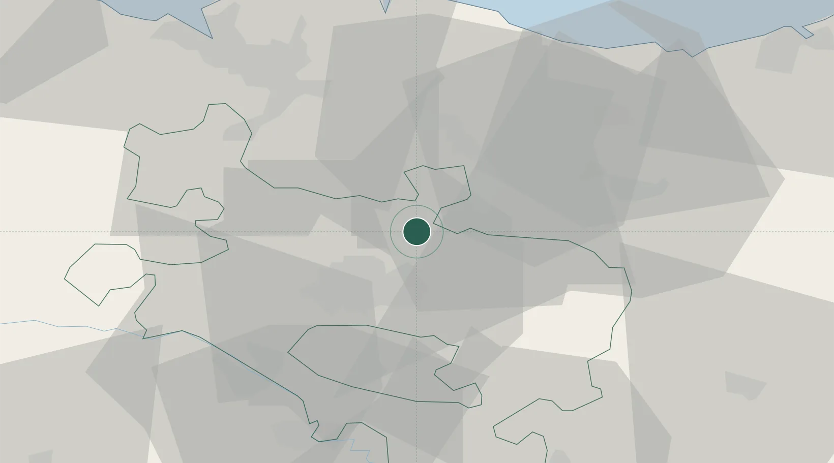
Location
Nearby Logistics Neighbours
Cities
- 1Villarreal de Álava2 km
- 2Minano Mayor6 km
- 3Ochandiano8 km
- 4Otxandio8 km
- 5Durana9 km
Ports
- 1Bermeo51 km
- 2Puerto De Bilbao54 km
- 3Puerto De Pasajes70 km
- 4Santander109 km
- 5Bayonne112 km
Airports
- 1Vitoria Airport12 km
- 2Bilbao Airport44 km
- 3Logroño-Agoncillo Airport62 km
- 4San Sebastián Airport81 km
- 5Pamplona Airport83 km
Trade Zones
DatabookThe Record of Consolidated Knowledge
Spain beyond logistics?