Transport Functions
Port
Hub Profile
Place type
District seat
Region
Castille-La Mancha
Population
5,170
Time zone
Europe/Madrid
Elevation
681 m
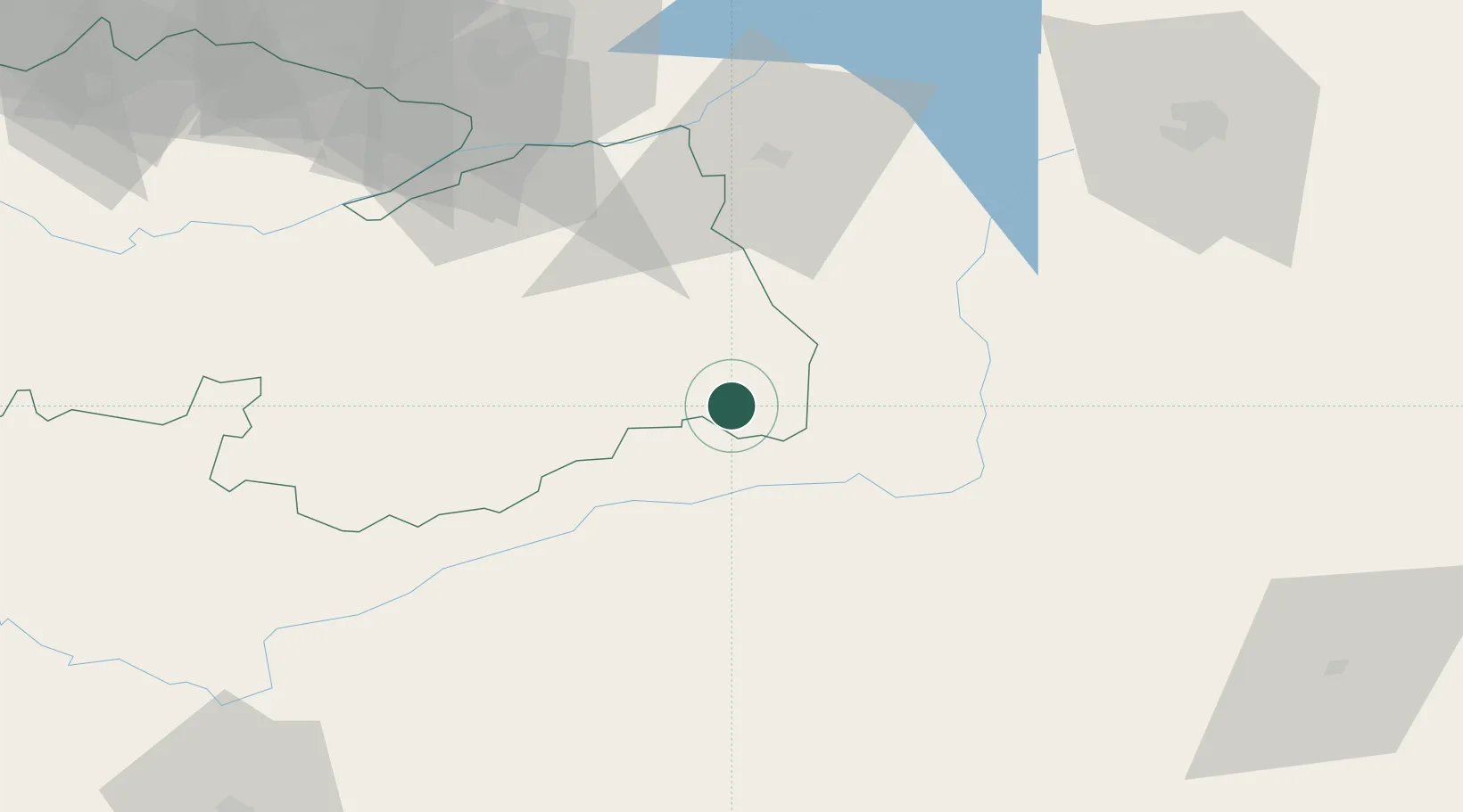
Location
Nearby Logistics Neighbours
Cities
- 1Villafranca de los Caballeros25 km
- 2Villacañas25 km
- 3El Pedernoso29 km
- 4Hontanaya32 km
- 5Belmonte33 km
Ports
- 1Valencia238 km
- 2Sagunto246 km
- 3Puerto De Gandia259 km
- 4Alicante261 km
- 5Burriana263 km
Airports
Trade Zones
DatabookThe Record of Consolidated Knowledge
Spain beyond logistics?