Transport Functions
Road
Multimodal
Hub Profile
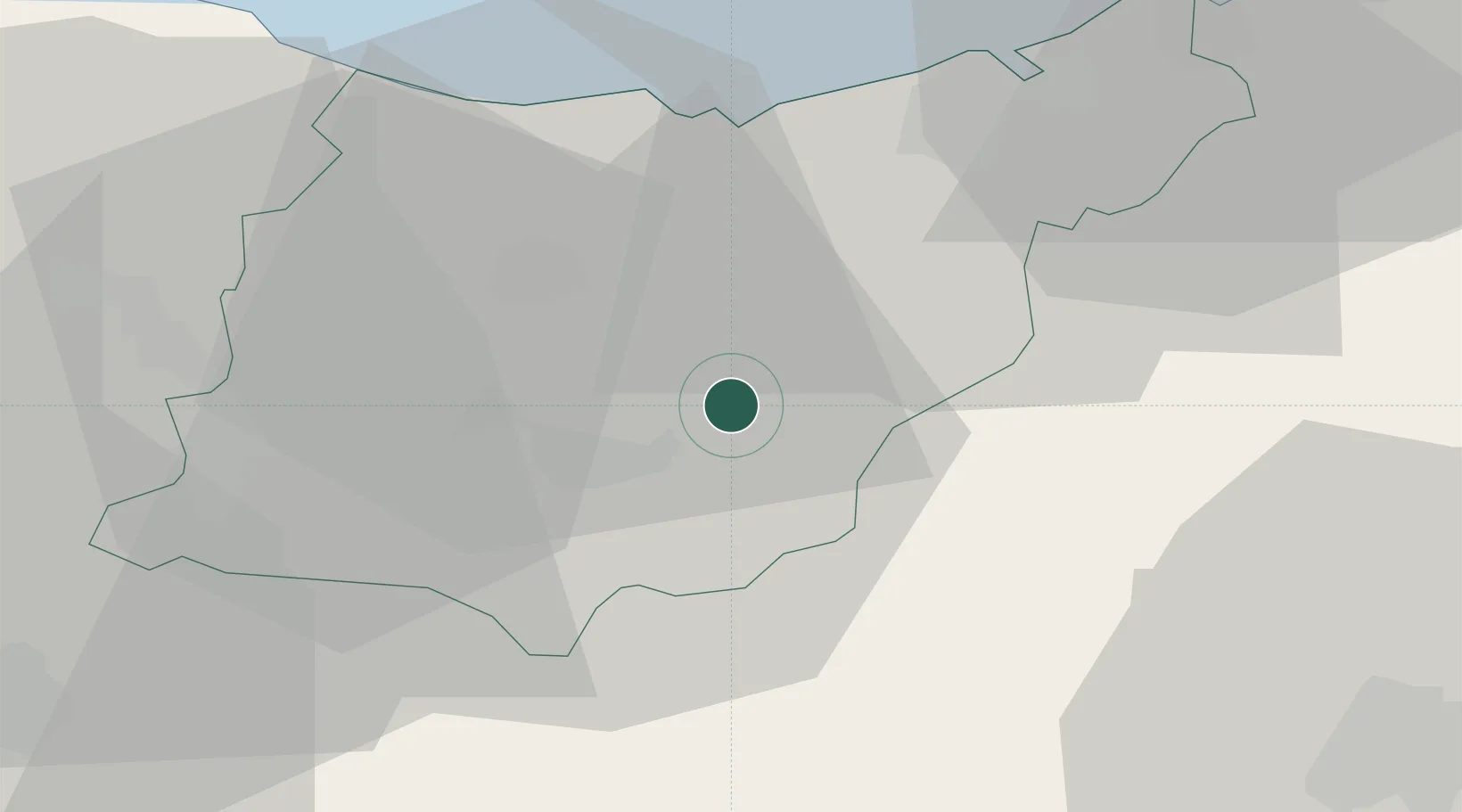
Place type
District seat
Region
Basque Country
Population
1,357
Time zone
Europe/Madrid
Elevation
129 m
Location
Nearby Logistics Neighbours
Ports
- 1Puerto De Pasajes32 km
- 2Bermeo60 km
- 3Bayonne71 km
- 4Puerto De Bilbao80 km
- 5Santander140 km
Airports
- 1San Sebastián Airport41 km
- 2Pamplona Airport53 km
- 3Vitoria Airport53 km
- 4Biarritz Pays Basque airport65 km
- 5Bilbao Airport68 km
Trade Zones
DatabookThe Record of Consolidated Knowledge
Spain beyond logistics?