Transport Functions
Multimodal
Hub Profile
Place type
District seat
Region
Basque Country
Time zone
Europe/Madrid
Elevation
83 m
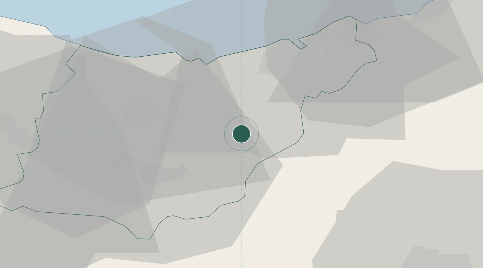
Location
Nearby Logistics Neighbours
Cities
- 1Tolosa1 km
- 2Anoeta4 km
- 3Irura4 km
- 4Villabona6 km
- 5Berastegui6 km
Ports
- 1Puerto De Pasajes24 km
- 2Bayonne62 km
- 3Bermeo63 km
- 4Puerto De Bilbao85 km
- 5Santander145 km
Airports
- 1San Sebastián Airport33 km
- 2Pamplona Airport52 km
- 3Biarritz Pays Basque airport57 km
- 4Vitoria Airport62 km
- 5Bilbao Airport72 km
Trade Zones
DatabookThe Record of Consolidated Knowledge
Spain beyond logistics?