Transport Functions
Port
Multimodal
Hub Profile
Place type
Populated place
Region
Basque Country
Time zone
Europe/Madrid
Elevation
491 m
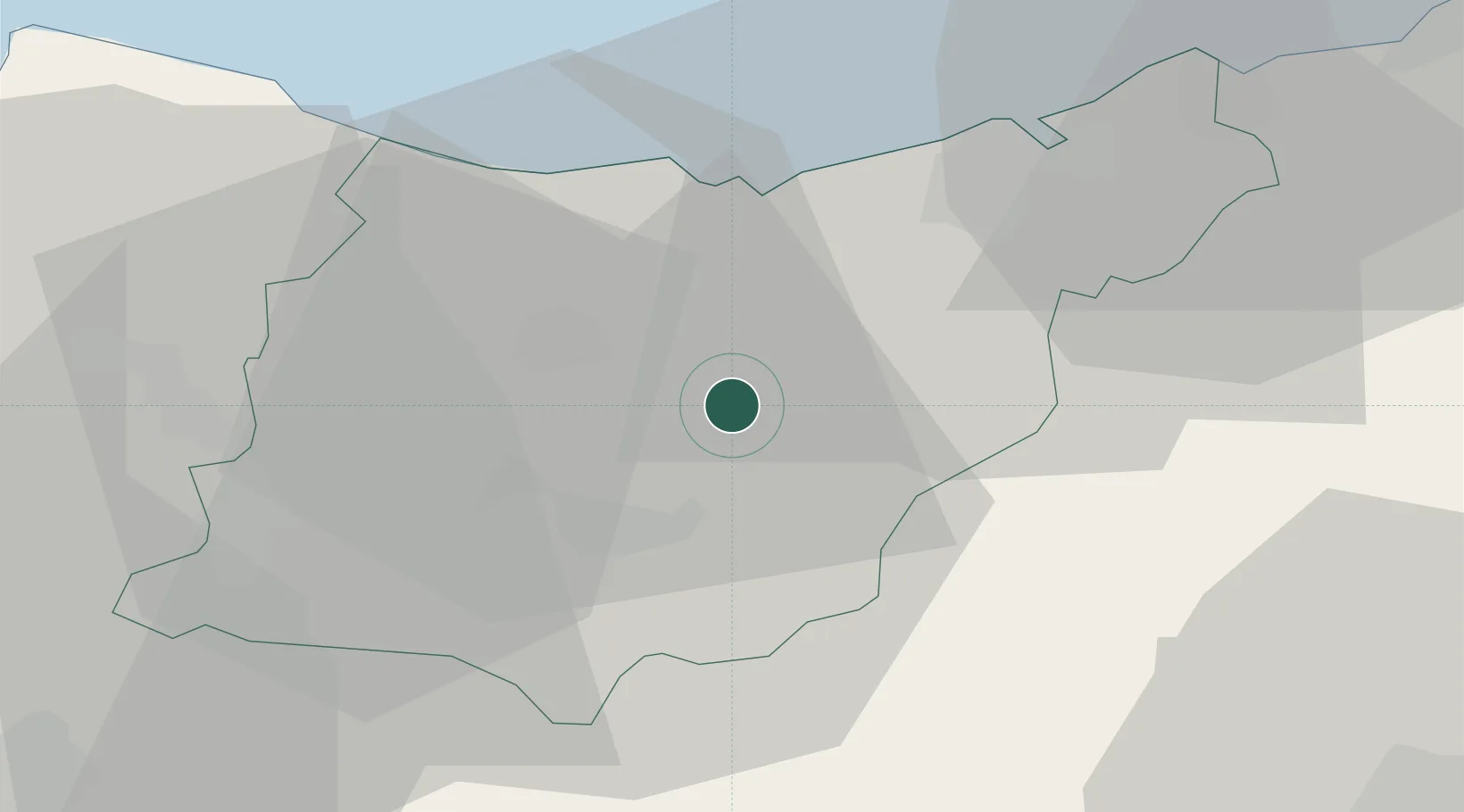
Location
Nearby Logistics Neighbours
Cities
- 1Legorreta6 km
- 2Tolosa7 km
- 3Urrestilla7 km
- 4Anoeta8 km
- 5Irura8 km
Ports
- 1Puerto De Pasajes28 km
- 2Bermeo56 km
- 3Bayonne69 km
- 4Puerto De Bilbao77 km
- 5Santander137 km
Airports
- 1San Sebastián Airport38 km
- 2Vitoria Airport54 km
- 3Pamplona Airport58 km
- 4Biarritz Pays Basque airport63 km
- 5Bilbao Airport64 km
Trade Zones
DatabookThe Record of Consolidated Knowledge
Spain beyond logistics?