Transport Functions
Road
Multimodal
Hub Profile
Place type
District seat
Region
Basque Country
Time zone
Europe/Madrid
Elevation
170 m
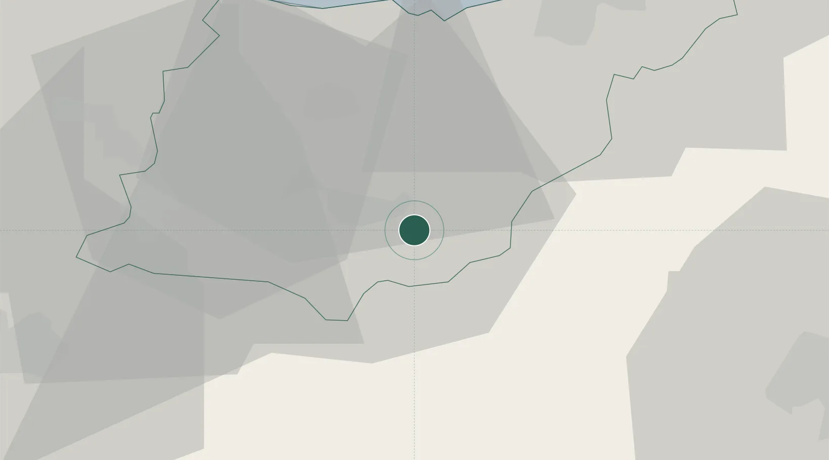
Location
Nearby Logistics Neighbours
Cities
- 1Ordizia4 km
- 2Legorreta8 km
- 3Vidania13 km
- 4Tolosa15 km
- 5Echarri-Aranaz15 km
Ports
- 1Puerto De Pasajes40 km
- 2Bermeo63 km
- 3Bayonne78 km
- 4Puerto De Bilbao81 km
- 5Santander140 km
Airports
- 1Vitoria Airport48 km
- 2San Sebastián Airport49 km
- 3Pamplona Airport51 km
- 4Logroño-Agoncillo Airport63 km
- 5Bilbao Airport68 km
Trade Zones
DatabookThe Record of Consolidated Knowledge
Spain beyond logistics?