Transport Functions
Multimodal
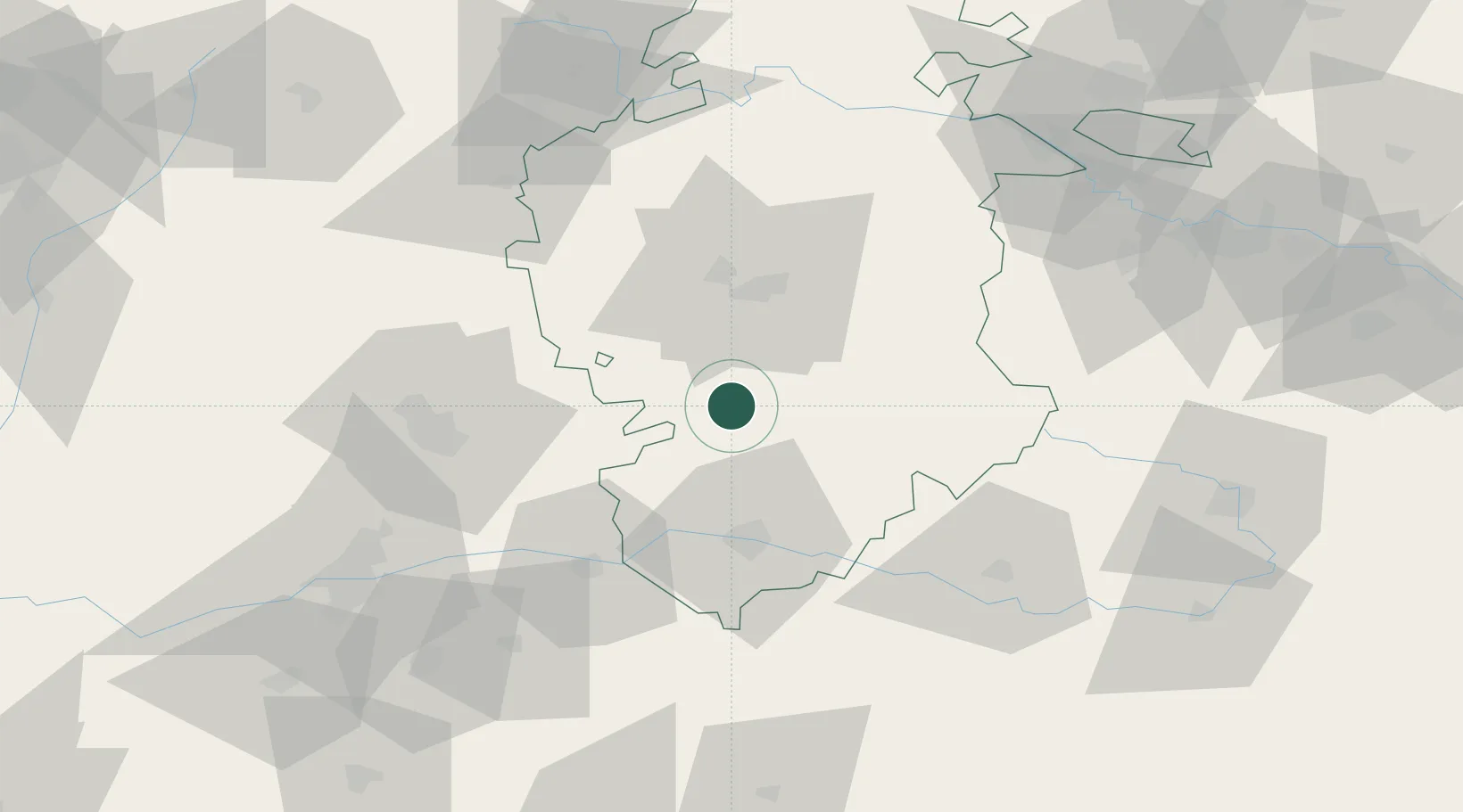
Hub Profile
Place type
District seat
Region
Castille and León
Population
2,647
Time zone
Europe/Madrid
Elevation
836 m
Location
Nearby Logistics Neighbours
Cities
- 1Valdorros15 km
- 2Saldaña de Burgos25 km
- 3Cardenadijo30 km
- 4Caleruega31 km
- 5Olmedillo de Roa32 km
Ports
- 1Puerto De Bilbao157 km
- 2Santander159 km
- 3Bermeo176 km
- 4Puerto De Pasajes207 km
- 5Gijon230 km
Airports
- 1Burgos Airport38 km
- 2Valladolid Airport98 km
- 3Vitoria Airport127 km
- 4Logroño-Agoncillo Airport127 km
- 5Seve Ballesteros-Santander Airport155 km
Trade Zones
DatabookThe Record of Consolidated Knowledge
Spain beyond logistics?