Transport Functions
Rail
Road
Hub Profile
Place type
Populated place
Region
Basque Country
Time zone
Europe/Madrid
Elevation
610 m
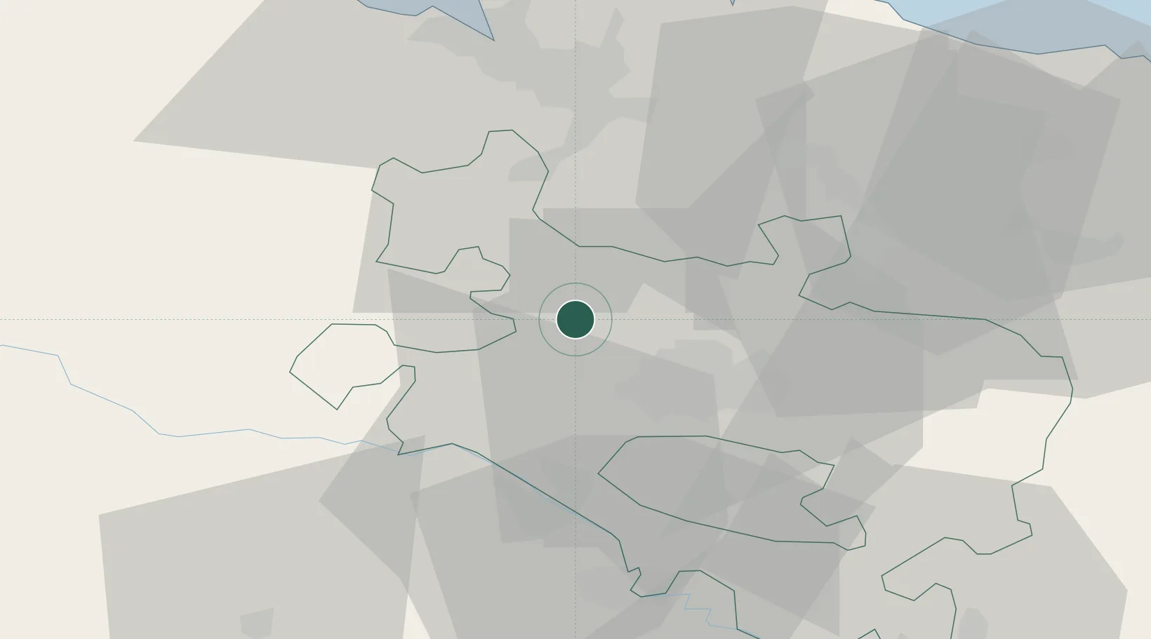
Location
Nearby Logistics Neighbours
Cities
- 1Murga18 km
- 2Zeanuri19 km
- 3Vitoria-Gasteiz19 km
- 4Aranguiz19 km
- 5Alegria-Dulantzi de Alava20 km
Ports
- 1Puerto De Bilbao46 km
- 2Bermeo54 km
- 3Puerto De Pasajes89 km
- 4Santander92 km
- 5Bayonne131 km
Airports
- 1Vitoria Airport16 km
- 2Bilbao Airport39 km
- 3Logroño-Agoncillo Airport72 km
- 4Burgos Airport88 km
- 5Seve Ballesteros-Santander Airport92 km
Trade Zones
DatabookThe Record of Consolidated Knowledge
Spain beyond logistics?