Transport Functions
Port
Rail
Road
Airport
Hub Profile
Logistics facilities
5
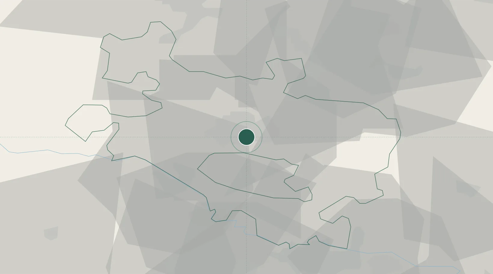
Location
Nearby Logistics Neighbours
Cities
- 1Alegria-Dulantzi de Alava1 km
- 2Aranguiz5 km
- 3Durana8 km
- 4Minano Mayor10 km
- 5Legutiano15 km
Ports
- 1Puerto De Bilbao62 km
- 2Bermeo64 km
- 3Puerto De Pasajes84 km
- 4Santander111 km
- 5Bayonne125 km
Airports
- 1Vitoria Airport4 km
- 2Bilbao Airport53 km
- 3Logroño-Agoncillo Airport54 km
- 4Pamplona Airport88 km
- 5Burgos Airport92 km
Trade Zones
DatabookThe Record of Consolidated Knowledge
Spain beyond logistics?