UN/LOCODE hub · Spain
ESIRU

Irún

43.3500°, -1.7833°
61,983
Population
3
Transport functions

Transport Functions

Rail
Road
Airport
UN/LOCODE

Hub Profile

Place type
District seat
GeoNames
Region
Basque Country
GeoNames
Population
61,983
GeoNames
Time zone
Europe/Madrid
GeoNames
Elevation
23 m
GeoNames

Location

Location of ESIRU
Natural Earth 10m (public domain) · Basque Country · ESIRU · 43.35, -1.78GoogleOSMYandex

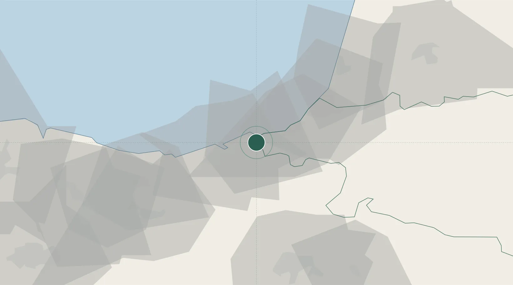
Nearby Logistics Neighbours

Cities
  1. 1Fuenterrabía2 km
  2. 2Hendaye2 km
  3. 3Oiartzun (Elizalde)8 km
  4. 4Zalain10 km
  5. 5Rentería10 km
Nearest neighbours — logibook spatial index (haversine) over the source coordinates
Ports
  1. 1Puerto De Pasajes12 km
  2. 2Bayonne31 km
  3. 3Bermeo76 km
  4. 4Puerto De Bilbao102 km
  5. 5Santander162 km
Nearest neighbours — logibook spatial index (haversine) over the source coordinates
Airports
  1. 1San Sebastián Airport1 km
  2. 2Biarritz Pays Basque airport25 km
  3. 3Pamplona Airport65 km
  4. 4Bilbao Airport91 km
  5. 5Vitoria Airport92 km
Nearest neighbours — logibook spatial index (haversine) over the source coordinates
Trade Zones
  1. 1Depósito Franco de Pasajes (Guipúzcoa)12 km
  2. 2Depósito Franco de Bilbao102 km
  3. 3Zona Franca de Santander165 km
  4. 4ZFU Hauts de Garonne191 km
  5. 5Depósito Franco de Villafría (Burgos)192 km
Nearest neighbours — logibook spatial index (haversine) over the source coordinates
DatabookThe Record of Consolidated Knowledge
Spain beyond logistics?
Browse databook

All Sources

LocationsUN/LOCODE
UN/LOCODE — free
LocationsGeoNames
CC BY 4.0
Portsthe NGA World Port Index
Public domain (US gov)
AirportsOurAirports
Public domain
Trade Zonesthe World Bank SEZ database
CC BY 4.0
Trade ZonesOpen Zone Map
CC BY
← Spain locations